Waterford Rise Estate - Warragul SOLD OUT
[LIMITED OFFER] Loom Warragul - Weave a Life of Wonder!
- Woven into the heart of Warragul is Loom, a new community offering 200 distinct lots. Each house and land package is shaped for a life less ordinary in an estate that stands apart for its spirit.
- This new estate in Gippsland offers something for every kind of family and lifestyle. Near schools, supermarkets and outdoor spaces, the range of blocks for sale are intermingled with everything a modern life calls for.
- With a relaxed country lifestyle and a welcoming community feel underpinning it all, Warragul is a spot brimming with possibility.
- The town centre is less than 10 minutes away, while local parks, primary schools and a future supermarket are all only a minute away from Loom.
This information is estimated by the OpenLot research team. Let us know here to provide up-to-date information about this development.
| Total new homes | 170 |
| Area size | 14.70 hectares |
| Growth Region | Gippsland Regional Growth Areas |
| City council | Baw Baw Shire Council |
| Developer | N/A |
| Distance to | Melbourne CBD - 94 km east |
Land for Sale, House and Land Packages:
Popular Estates near Waterford Rise Estate - Warragul


 3
3
 2
2
 2
2


Updates for Waterford Rise Estate - Warragul
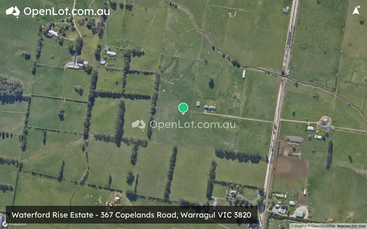
Location & Map for Waterford Rise Estate - Warragul
Visit Display Homes near Waterford Rise Estate - Warragul


Land Price Trend in Warragul VIC 3820
- In Oct - Dec 24, the median price for vacant land in Warragul VIC 3820 was $316,700. *
- From Oct - Dec 17 to Oct - Dec 24, the median price for vacant land in Warragul VIC 3820 has increased 85.2%. *
- From 2008 to 2024, the median price for vacant land in Warragul VIC 3820 has increased 240.54%. *
Vacancy Rate in Warragul VIC 3820
View full vacancy rate history in Warragul VIC 3820 via SQM Research.
Schools near Waterford Rise Estate - Warragul
Here are 6 schools near Waterford Rise Estate - Warragul:
Prep-6 Catholic Primary School
Prep-6 Government Primary School
Prep-12 Independent Combined School - School Head Campus
Prep-6 Government Primary School
Prep-6 Government Primary School
Prep-6 Government Primary School
Reviews & Comments on Waterford Rise Estate - Warragul
Estate Brochure, Masterplan, Engineering Plan, Plan of Subdivision (POS), Design Guidelines
FAQs about Waterford Rise Estate - Warragul
- St Angela of the Cross Primary School - 764m south
- Warragul North Primary School - 2.3km south-west
- St Paul's Anglican Grammar School - 3.0km south-west
- Nilma Primary School - 3.6km south
- Warragul Primary School - 3.7km south-west
- Buln Buln Primary School - 4.4km north-west
Popular Estates near Waterford Rise Estate - Warragul
Latest New Home Articles for You

18/Mar/2026 | OpenLot.com.au
Queensland: Top 30 Most Searched Housing Developments (February 2026)
If you’ve been exploring housing opportunities across Queensland, Februar...

16/Mar/2026 | OpenLot.com.au
New South Wales: Top 30 Most Searched Housing Developments (February 2026)
If you’ve been considering a move in New South Wales, February 2026 provi...

09/Mar/2026 | OpenLot.com.au
Victoria: Top 30 Most Searched Housing Developments (February 2026)
If you’ve been exploring housing opportunities in Victoria, February 2026...

20/Feb/2026 | OpenLot.com.au
Display Homes at Drouin Fields Estate: A Thriving Community in Drouin
Welcome to Drouin Fields, a place where beauty, space, and modern luxury ...

19/Feb/2026 | OpenLot.com.au
Display Homes at Manor Lakes Esate: A Thriving Waterside Community in Manor Lakes
A place where you can settle in, rather than just settle down. Named for ...

13/Feb/2026 | OpenLot.com.au
🏠 Victoria: Top 30 Most Searched Townhouse Developments – January 2026

11/Feb/2026 | OpenLot.com.au
🏡 Top 30 Most Searched Estates by State - January 2026

10/Feb/2026 | OpenLot.com.au
Victoria: Top 30 Most Searched Housing Developments (January 2026)
If you’ve been considering making a move in Victoria, January 2026 offere...

10/Feb/2026 | OpenLot.com.au
Queensland: Top 30 Most Searched Housing Developments (January 2026)
If you’ve been considering making a move in Queensland, January 2026 offe...