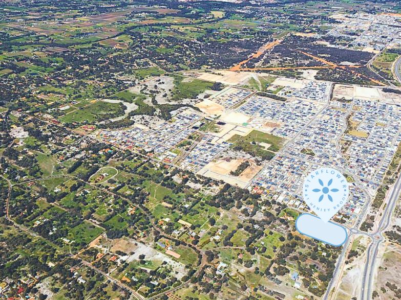

Starflower Estate - Henley Brook COMING SOON
 342 Park Street, Henley Brook WA 6055
This information is estimated by the OpenLot research team. Let us know here to provide up-to-date information about this development.
| Total new homes | 60 |
| Area size | N/A |
| Growth Region | Perth North East Growth Areas |
| City council | City of Swan |
| Developer | Weston Property Group |
| Other names | Starflower at Henley Brook |
| Distance to | Perth Airport - 14 km north Perth CBD - 19 km north-east |
Land for Sale, House and Land Packages:
Popular Estates near Starflower Estate - Henley Brook


 4
4  2
2


Updates for Starflower Estate - Henley Brook
Facebook updates:
Submit the Facebook page for Starflower Estate - Henley Brook.
Related news:

Missing articles? Send us a link here.
Location & Map for Starflower Estate - Henley Brook
Visit Display Homes near Starflower Estate - Henley Brook


Vacancy Rate in Henley Brook WA 6055
View full vacancy rate history in Henley Brook WA 6055 via SQM Research.
Schools near Starflower Estate - Henley Brook
Here are 6 schools near Starflower Estate - Henley Brook:
K-6 Government Primary School
K-6 Government Primary School
PP-6 Catholic Primary School
PP-12 Independent Combined School
PP-12 Independent Combined School
7-12 Government Secondary School
Reviews & Comments on Starflower Estate - Henley Brook
Estate Brochure, Masterplan, Engineering Plan, Plan of Subdivision (POS), Design Guidelines
FAQs about Starflower Estate - Henley Brook
View all estates from Weston Property Group
- Brabham Primary School - 1.3km south-east
- Ellenbrook Primary School - 2.3km north
- St Helena's Catholic Primary School - 2.4km north
- Swan Valley Anglican Community School - 2.7km north-east
- Ellenbrook Christian College - 2.8km north
- Ellenbrook Secondary College - 2.9km north
Popular Estates near Starflower Estate - Henley Brook
Latest New Home Articles for You

26/Jul/2024
Your next Investment Property Can Now Return 10%+
Find out How A ‘Multi-Liv’ Property Returns on Average $7,350 per mont...

26/Jul/2024
Deciphering the Tactics Behind Builder Promotions for Informed Decision-Making
In the labyrinthine world of home building, the allure of promotions can ...

18/Jul/2024
Display Homes at Ferntree Ridge: Embrace Country Living in Drouin
Ferntree Ridge by LandGipps, offers a unique opportunity to experience th...

15/Jul/2024
How to Finance Your House and Land Package
Financing a house and land package involves understanding various options...

09/Jul/2024
Display Homes at Kinley Lilydale: A New Era of Living
Intrapac Property's latest development, Kinley, is set to transform Lilyd...

09/Jul/2024
Victoria: Top 30 Most Searched Housing Developments (June 2024)
We're excited to unveil the lineup of the top 30 most searched housing de...

09/Jul/2024
Western Australia: Top 30 Most Searched Housing Developments (June 2024)
If you've ever dreamt of making Western Australia your home, now is the p...

09/Jul/2024
South Australia: Top 30 Most Searched Housing Developments (June 2024)
South Australia, with its captivating allure and rich cultural heritage, ...

09/Jul/2024
Queensland: Top 30 Most Searched Housing Developments (June 2024)
On Australia's sun-kissed eastern coast lies Queensland, often referred t...