

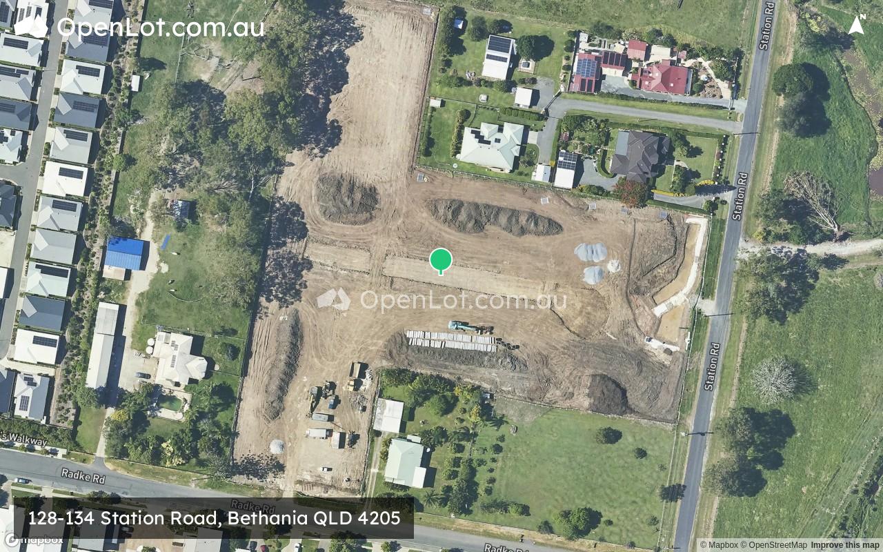
128-134 Station Road, Bethania QLD 4205 SOLD OUT
[NEW RELEASE] Land Now Selling
- • Registration December 2025
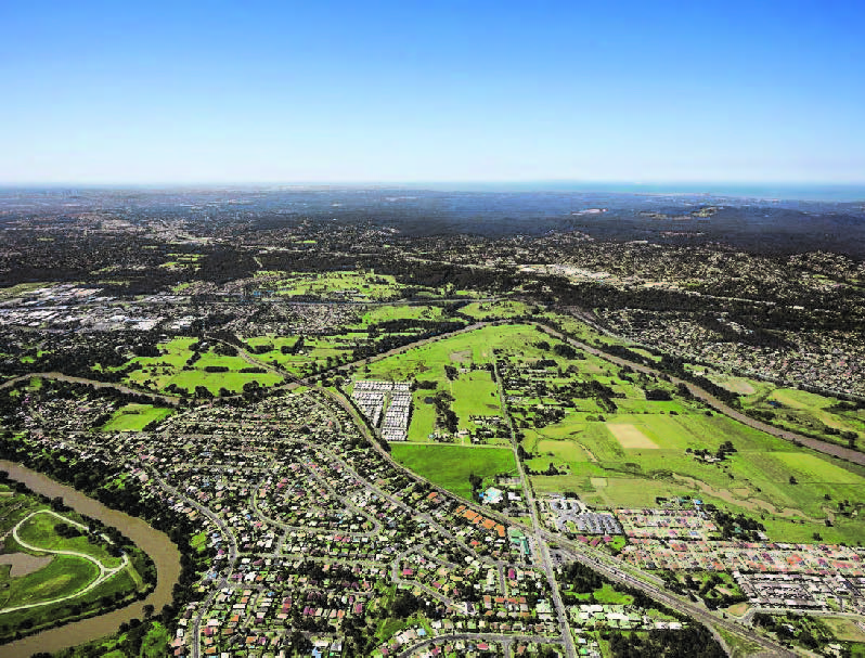
• Adjacent to Noffke Park
• Perfectly designed for owner-occupiers, young professionals or investors - • 750m to Bethania Railway Station
• Nearby parks such as Noffke Park
• 6min to Woolworths, Bunnings, Aldi
• 600m to Bethania Waters Shopping Centre
• 8km to Griffith University
• 33km to Brisbane CBD
• Nearby major roads such as Gold Coast Highway and Pacific Motorway
This information is estimated by the OpenLot research team. Let us know here to provide up-to-date information about this development.
| Total new homes | 30 |
| Area size | 1.95 hectares |
| Growth Region | Greater Brisbane Growth Areas |
| City council | Logan City Council |
| Developer | N/A |
| Distance to | Brisbane CBD - 27 km south-east Brisbane Airport - 32 km south Gold Coast CBD - 44 km north-west |
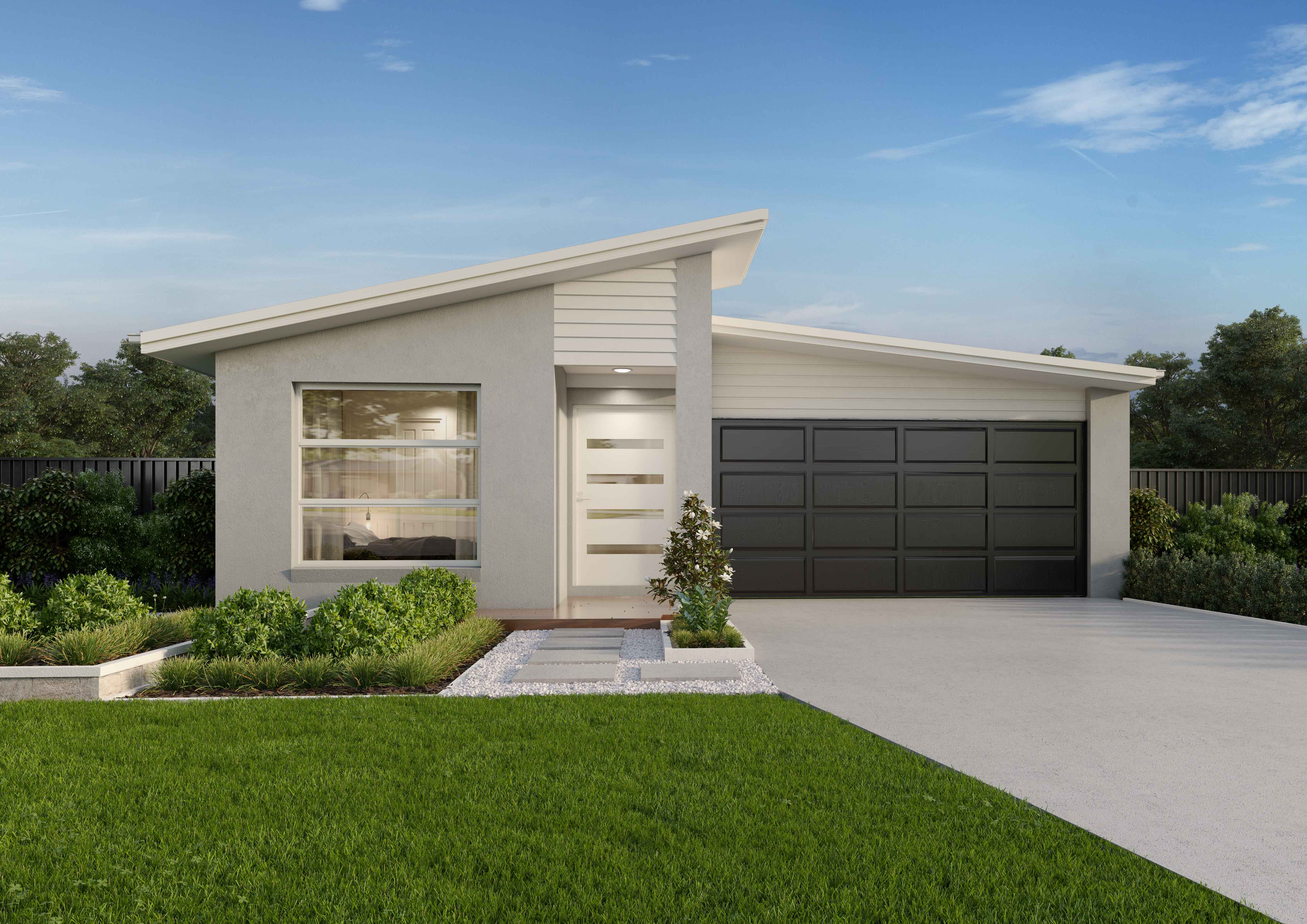
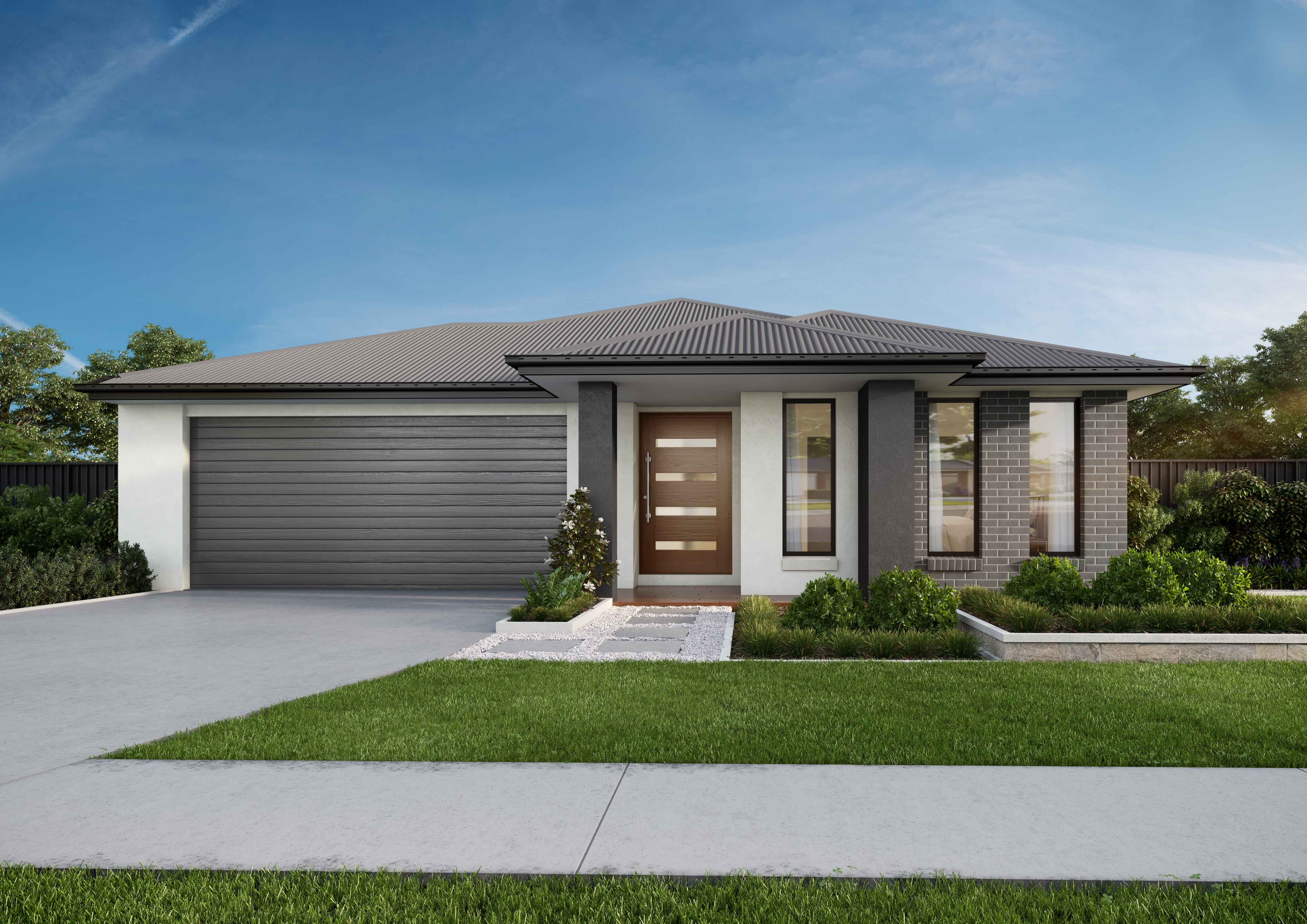
Land for Sale, House and Land Packages:
3 Land Lots in 128-134 Station Road - Bethania

Popular Estates near 128-134 Station Road, Bethania


Updates for 128-134 Station Road, Bethania
Facebook updates:

Location & Map for 128-134 Station Road, Bethania
Visit Display Homes near 128-134 Station Road, Bethania


Vacancy Rate in Bethania QLD 4205
View full vacancy rate history in Bethania QLD 4205 via SQM Research.
Schools near 128-134 Station Road, Bethania
Here are 6 schools near 128-134 Station Road, Bethania:
Prep-6 Independent Primary School
7-12 Government Secondary School
Prep-6 Government Primary School
7-12 Independent Secondary School - School Head Campus
Prep-6 Government Primary School
Prep-6 Government Primary School
Reviews & Comments on 128-134 Station Road, Bethania
Estate Brochure, Masterplan, Engineering Plan, Plan of Subdivision (POS), Design Guidelines
FAQs about 128-134 Station Road, Bethania
- Bethania Lutheran Primary School - 1.3km south
- Loganlea State High School - 1.8km north-west
- Waterford State School - 1.9km south-west
- Ohana College - 2.1km north
- Loganholme State School - 2.4km east
- Waterford West State School - 2.6km west
Popular Estates near 128-134 Station Road, Bethania
Latest New Home Articles for You

09/Mar/2026 | OpenLot.com.au
Victoria: Top 30 Most Searched Housing Developments (February 2026)
If you’ve been exploring housing opportunities in Victoria, February 2026...

20/Feb/2026 | OpenLot.com.au
Display Homes at Drouin Fields Estate: A Thriving Community in Drouin
Welcome to Drouin Fields, a place where beauty, space, and modern luxury ...

19/Feb/2026 | OpenLot.com.au
Display Homes at Manor Lakes Esate: A Thriving Waterside Community in Manor Lakes
A place where you can settle in, rather than just settle down. Named for ...

13/Feb/2026 | OpenLot.com.au
🏠 Victoria: Top 30 Most Searched Townhouse Developments – January 2026

11/Feb/2026 | OpenLot.com.au
🏡 Top 30 Most Searched Estates by State - January 2026

10/Feb/2026 | OpenLot.com.au
Victoria: Top 30 Most Searched Housing Developments (January 2026)
If you’ve been considering making a move in Victoria, January 2026 offere...

10/Feb/2026 | OpenLot.com.au
Queensland: Top 30 Most Searched Housing Developments (January 2026)
If you’ve been considering making a move in Queensland, January 2026 offe...

09/Feb/2026 | OpenLot.com.au
Western Australia: Top 30 Most Searched Housing Developments (January 2026)
If you’ve been considering making a move in Western Australia, January 20...

06/Feb/2026 | OpenLot.com.au
South Australia: Top 30 Most Searched Housing Developments (January 2026)
If you’ve been considering making a move in South Australia, January 2026...