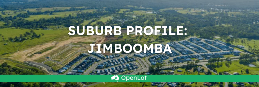
Jimboomba is approximately 5,429ha within the southern portion of Logan, located 27 kilometres south of Brisbane and the majority of the suburb is residential supported by the Jimboomba Town Centre.
The suburb boundary is located along the mountain range ridgeline to the east, and a series of creek, road and old rail corridors to the west. Stockleigh Road and Hawkins Road contribute to the northern boundary, which is in proximity to a large transmission line and Yarrabilba. The Scrubby Creek corridor and an old mountain access track provide the southern boundary to Cedar Vale and Mundoolun.
The Mt Lindesay Highway runs through the west of the suburb and provides access to the Jimboomba township. This urban area provides a mix of zones including education, community, commercial and retail services. The township area is surrounded by large areas of low density and farming zones. Rural residential zoned areas dominate the remaining northern southern and eastern portions of the suburb.
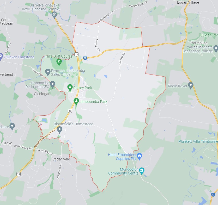
Jimboomba, Logan – Suburb Location
A small area of the urban footprint is located around the Jimboomba township area, which includes established urban areas and land with potential for new urban development. The area incorporates the full range of urban uses including housing, industry, business, infrastructure, community facilities and other integral components of well-planned urban environments, such as local areas for sport and recreation and urban open space. The council planning scheme includes zoning to allow land uses to align with the purpose of the urban footprint in accordance with the SEQ Regional Plan.
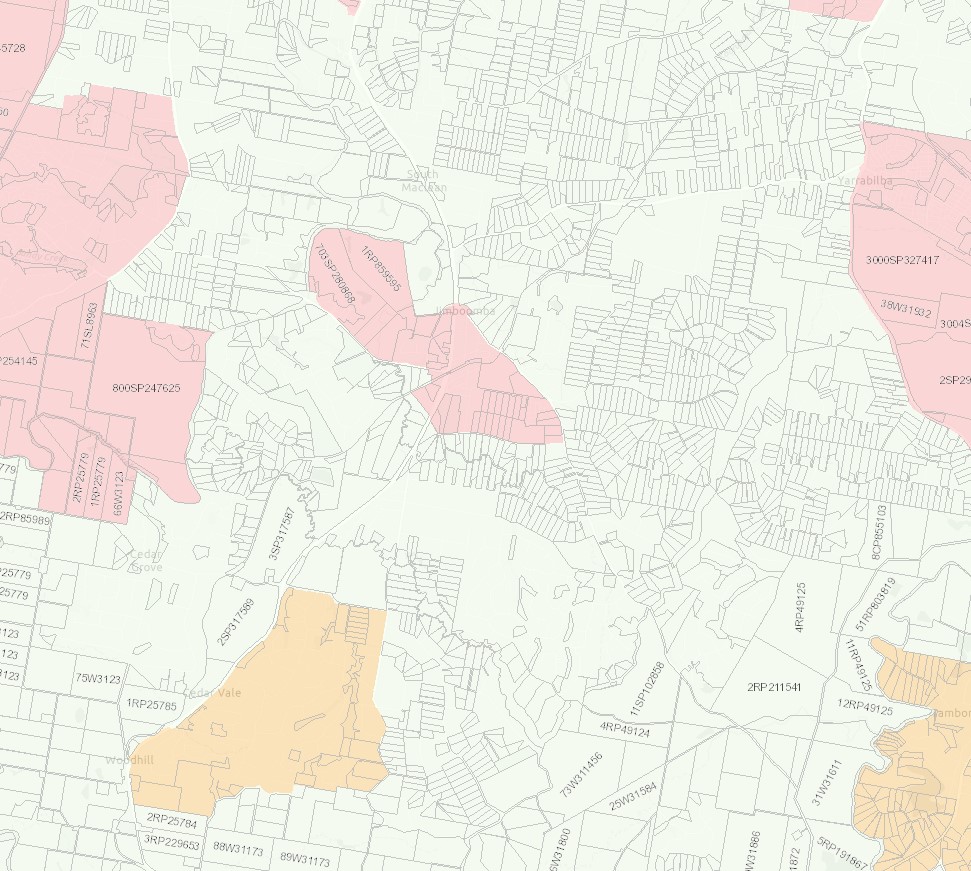
Jimboomba, Logan – Urban Footprint Location
The suburb includes pockets of recreational and open space zoned land found throughout the rural residential land to accommodate parkland, reserves and sporting fields. A large area of the suburb forms part of the mountain range to the east of the site which offers walking trails and informal creek catchments that flow down through the rural residential properties in proximity.
The large rural residential lots are being developed for smaller lots as the population in South East Queensland expands and the demand for new housing stock rises. Four new developments in Jimboomba are, Jimboomba Woods Estate, Eastbrooke Village Estate, The Village at Jimboomba and Riverstone Estate and the largest being Greenbank Central (Everleigh Estate).
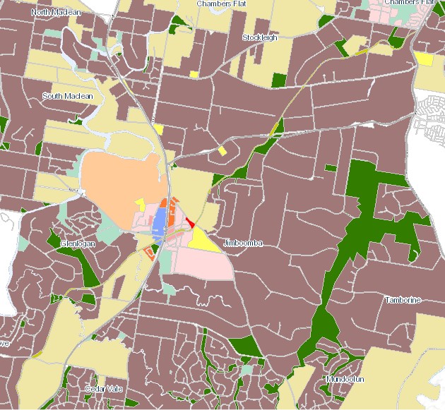
Jimboomba, Logan – Land Zoning
Local Plan Area in Jimboomba
The Logan City Council is seeking to deliver small improvements in the coming years to provide to the Jimboomba town centre, to cater for the new residents that are moving to the area. The improvements will make the suburb an even better place for locals, visitors and businesses.
Logan City Council is investigating the possibilities and has held public forums “Jimboomba Summit Survey” where key themes and feedback on options were discussed that could shape the future look and feel of the Jimboomba town centre. Ideas included street furniture, median greening, footpath dining, tree lighting.
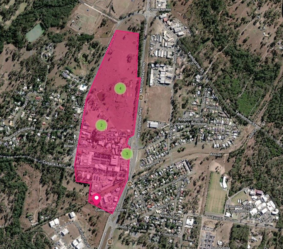
Jimboomba, Logan – Township Local Area Plan Area
The Logan Plan 2025
New Logan Council has decided in July 2021 to support a new planning scheme to address flood risk, design guidelines, planning areas for sustainable growth and emerging suburbs outside of the Flagstone and Yarrabilba priority development areas which will continue to be administered by planning schemes under the state government's Economic Development Act 2012.
The new Logan Planning Scheme 2015 will integrate the Logan Housing Study and the Logan Employment Lands Strategy to address the expected population growth that is predicted to exceed 500,000 by 2036.
Featured Developments in Jimboomba
 Land for Sale Land NOW SELLING! Limited blocks remain.
Riverton Estate - Jimboomba


Jimboomba Suburb Summary
References
Logan City Council - Jimboomba
Google Streetview and Aerial
OpenStreetMap - DNRME


