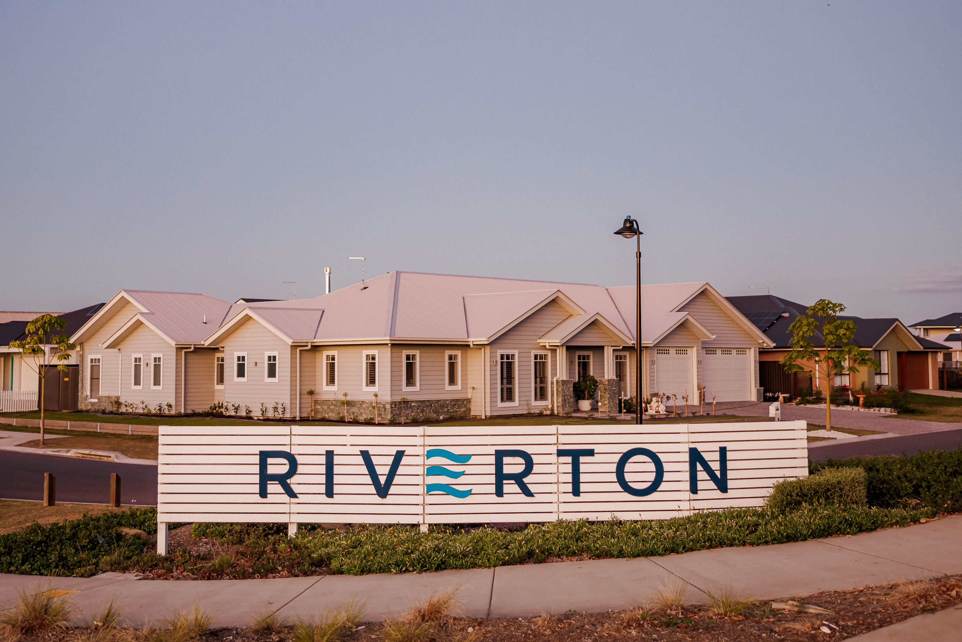

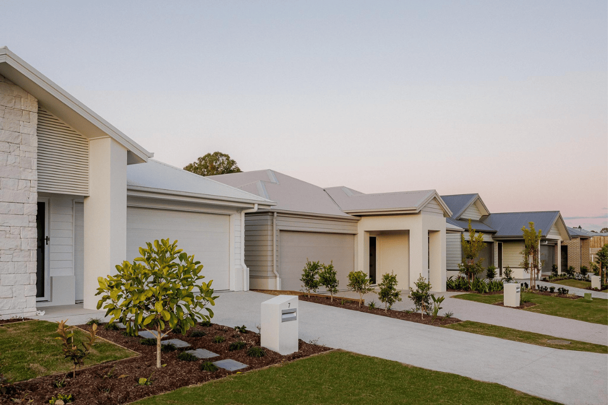
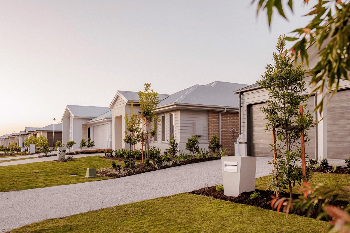
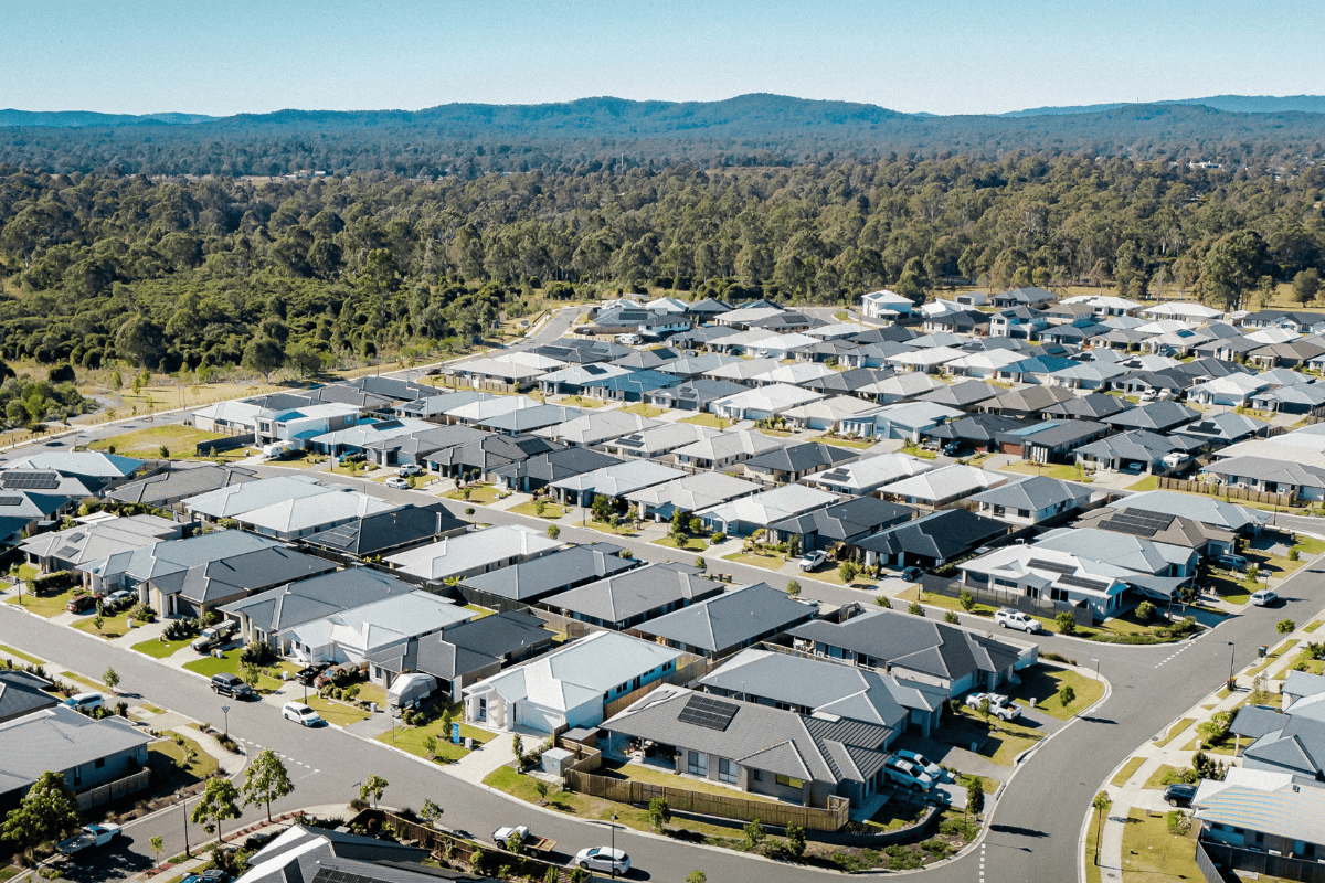
Riverton Estate - Jimboomba
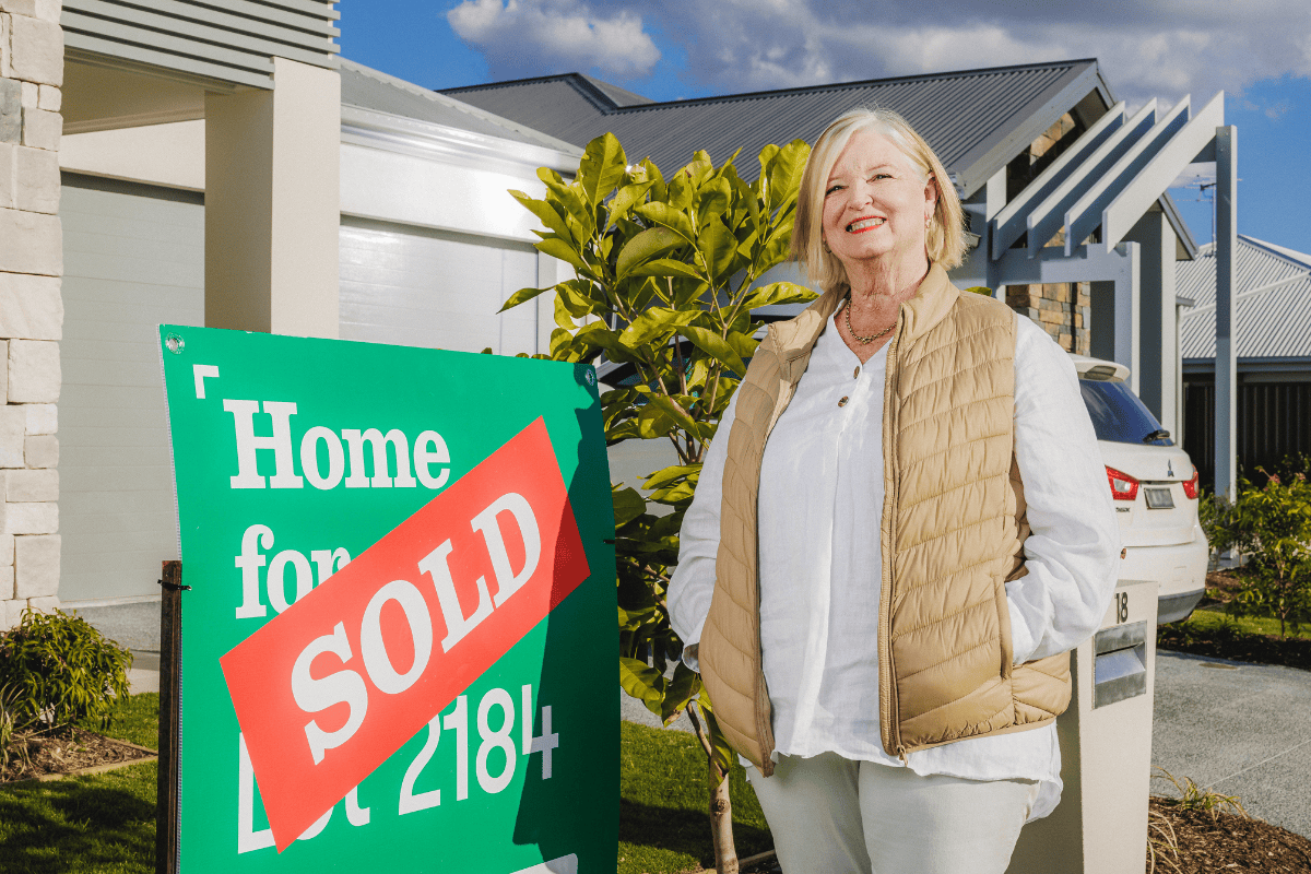
[NEW RELEASE] Land NOW SELLING! Limited blocks remain.
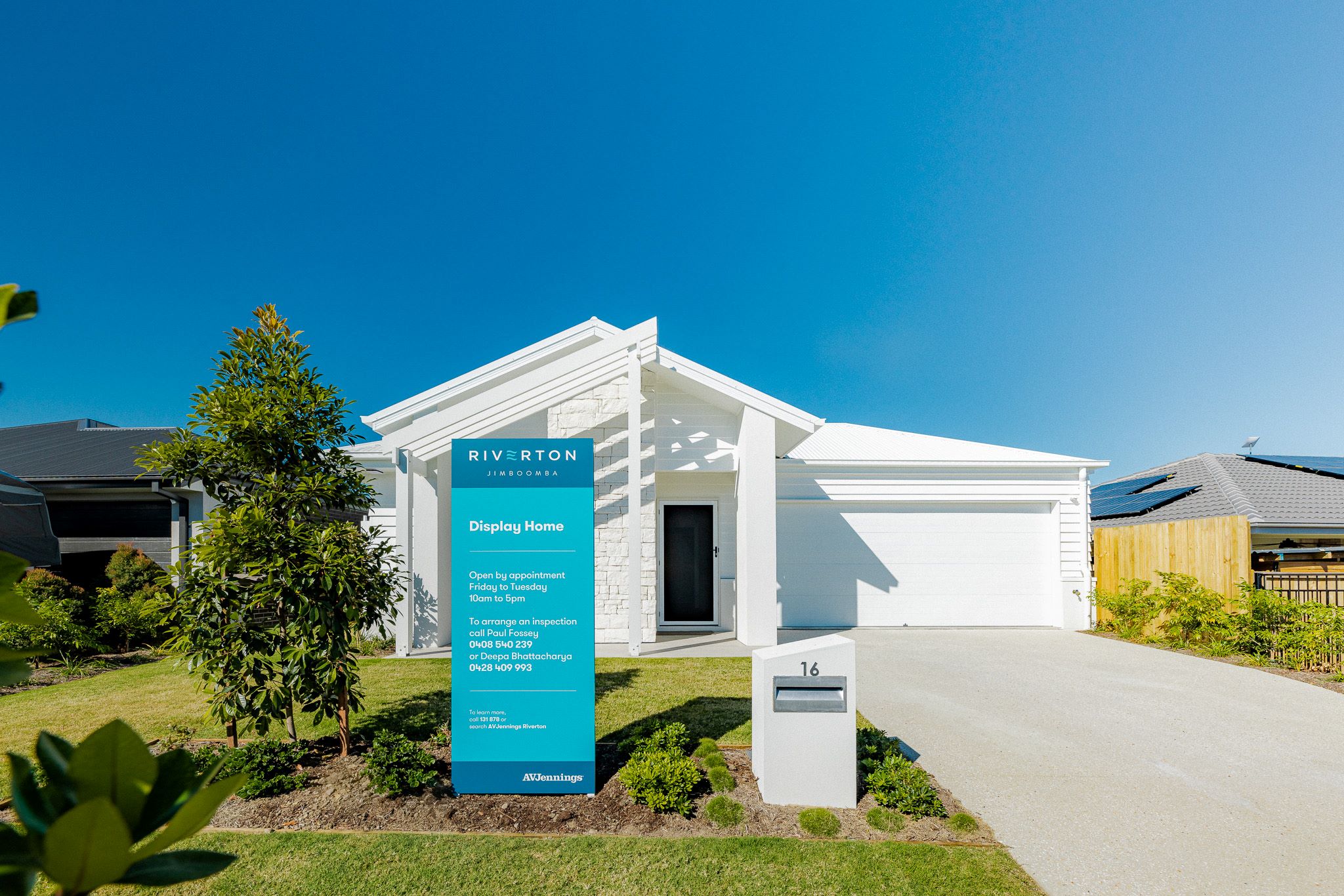
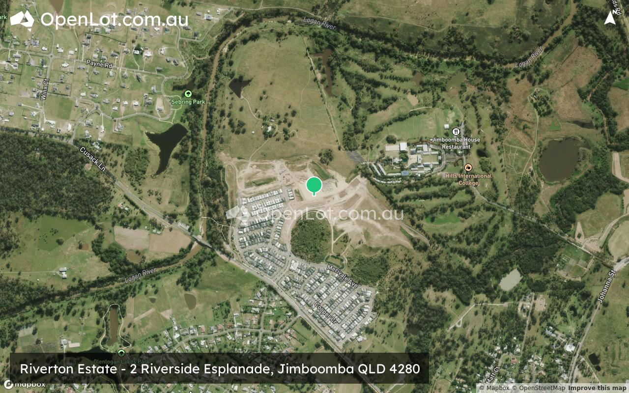
- Visit our Sales & Information Centre at 2 Riverside Esplanade Jimboomba. Open 10am to 5pm Saturday to Wednesday (Closed Thursday & Friday)
- New Land Release Now Selling.
- New Land Release Coming Soon.
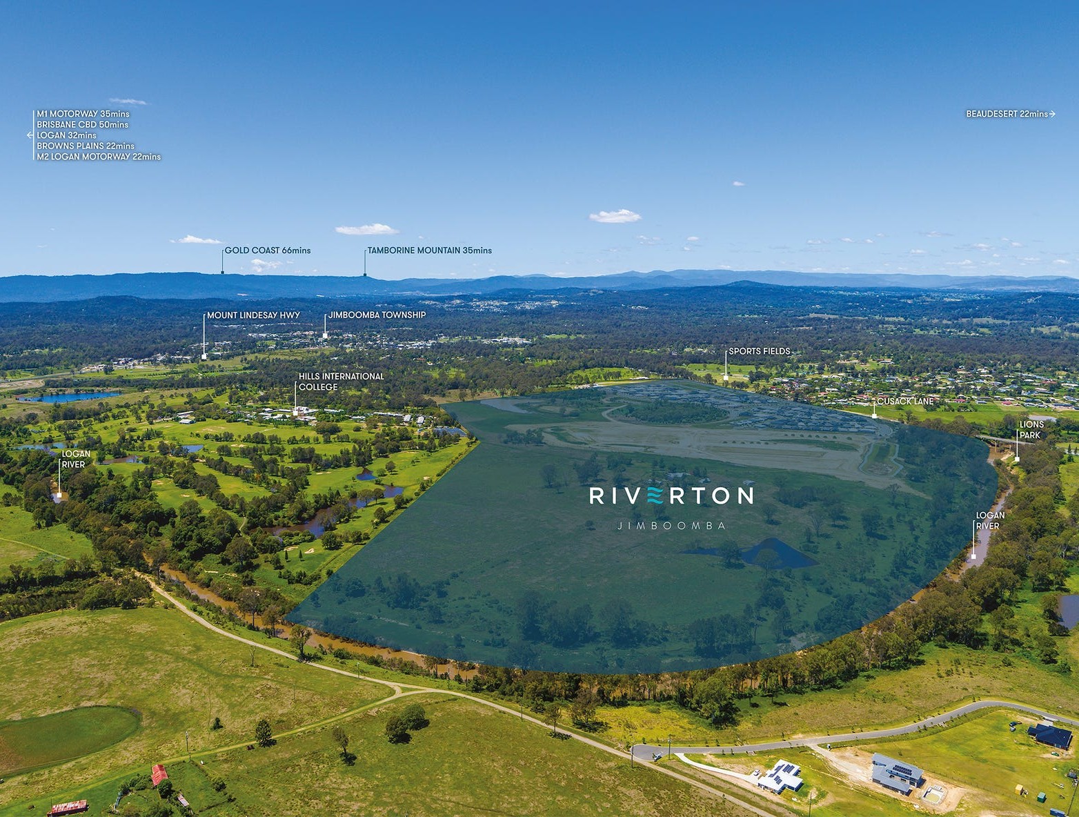
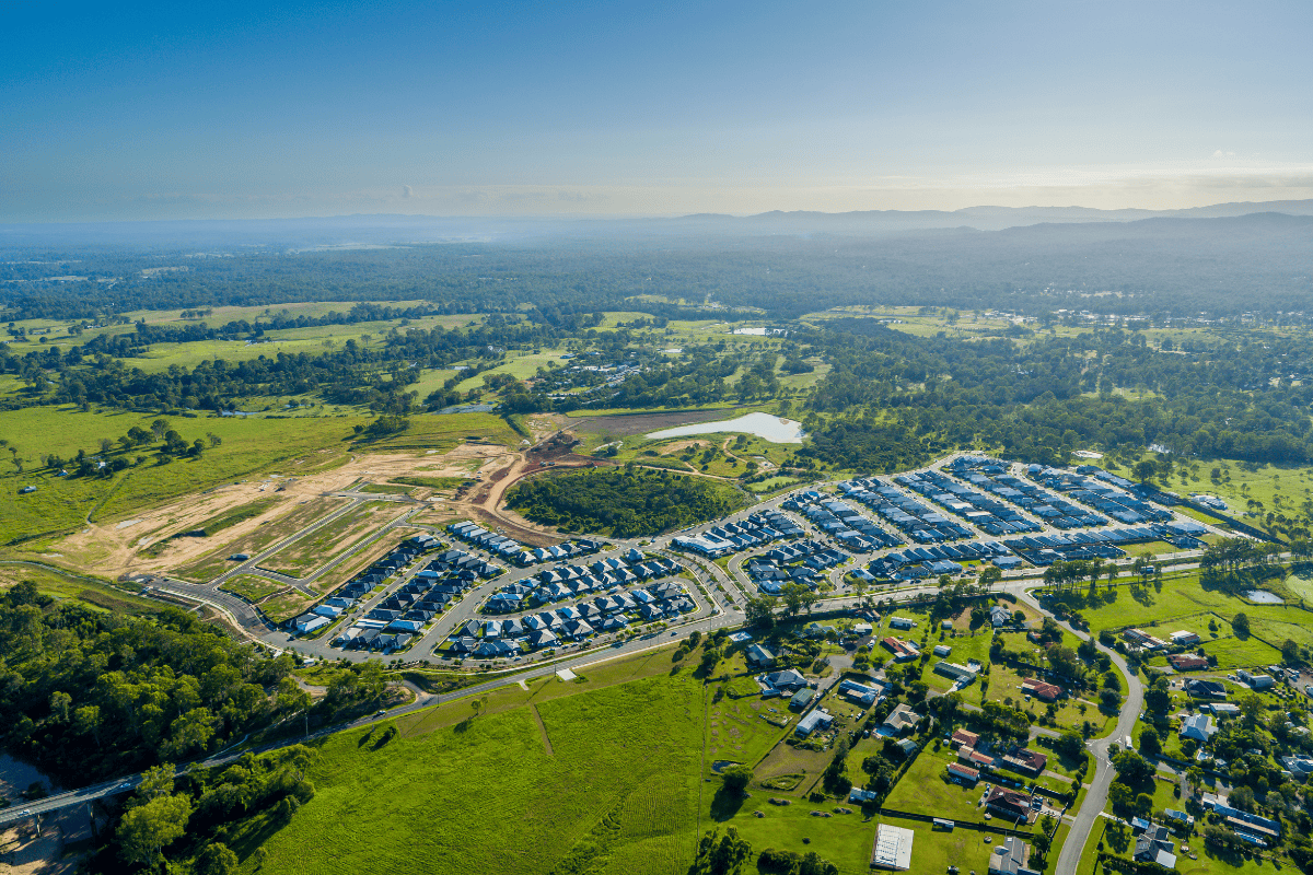
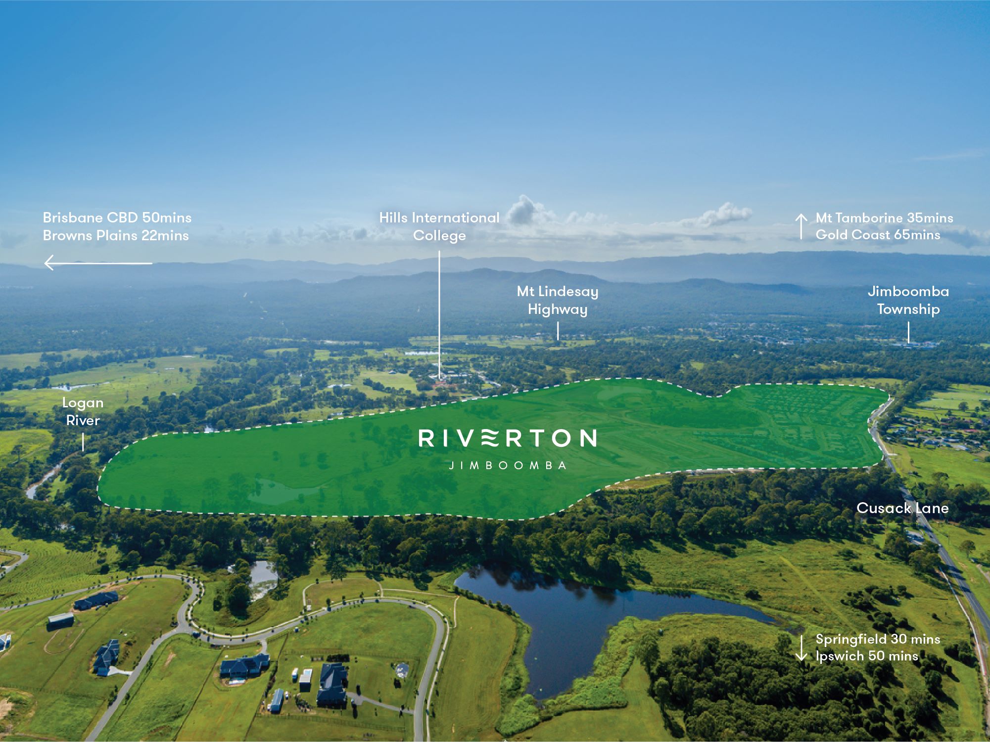
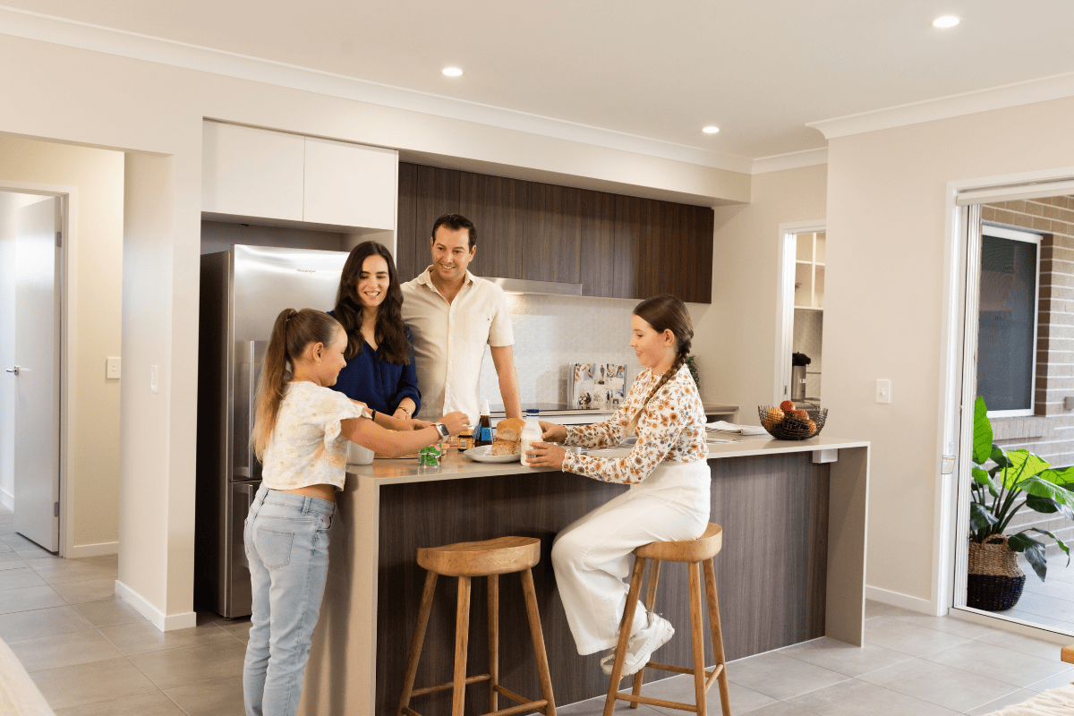
- A peaceful riverside location in central Jimboomba. Just 3 minutes to Jimboomba Town Centre.
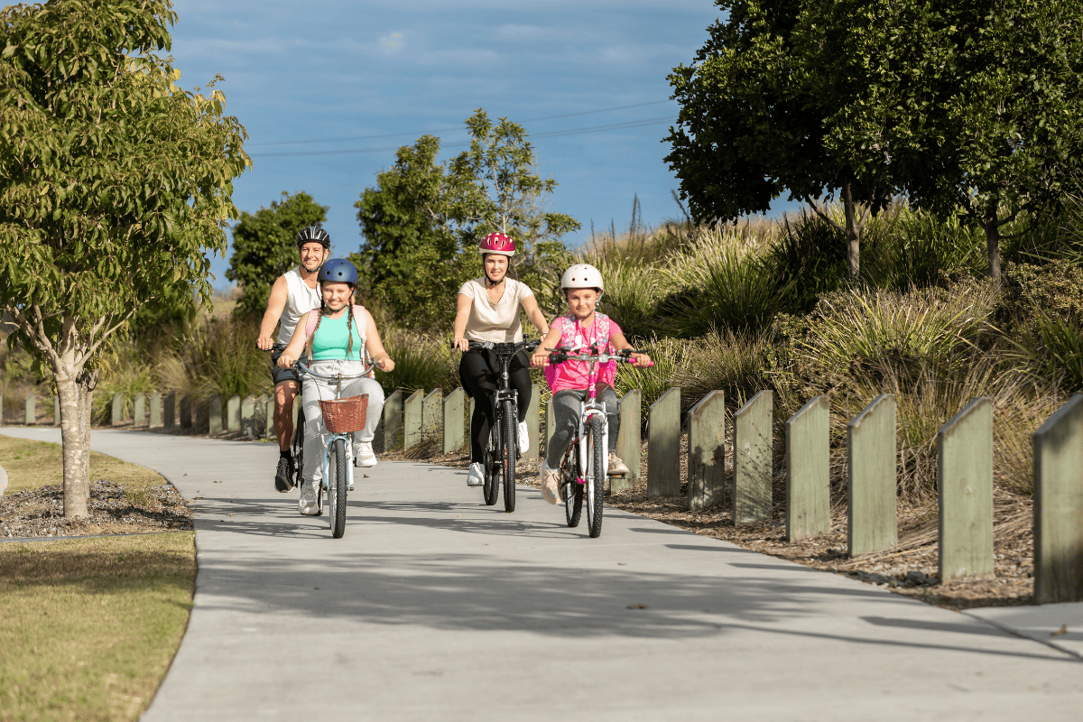
- Live alongside more than a kilometre of river frontage, protected vegetation and native trees that attract wildlife, and a stunning mountain backdrop of natural beauty.
- Close to schools with three schools right on your doorstep, and two university options just 30 minutes away. Onsite Childcare Centre.
- Easy access to recreational, shopping and transport facilities of Jimboomba, Park Ridge, Grand Plaza, & Orion Springfield.
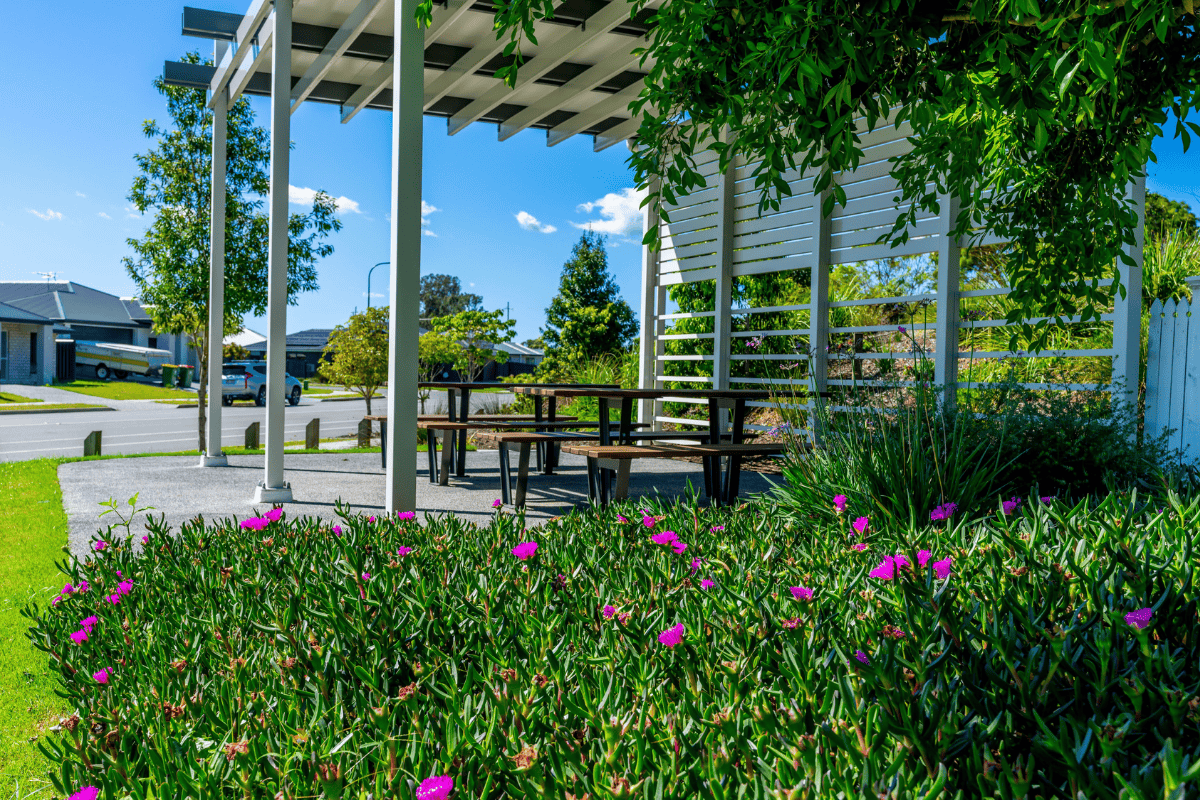
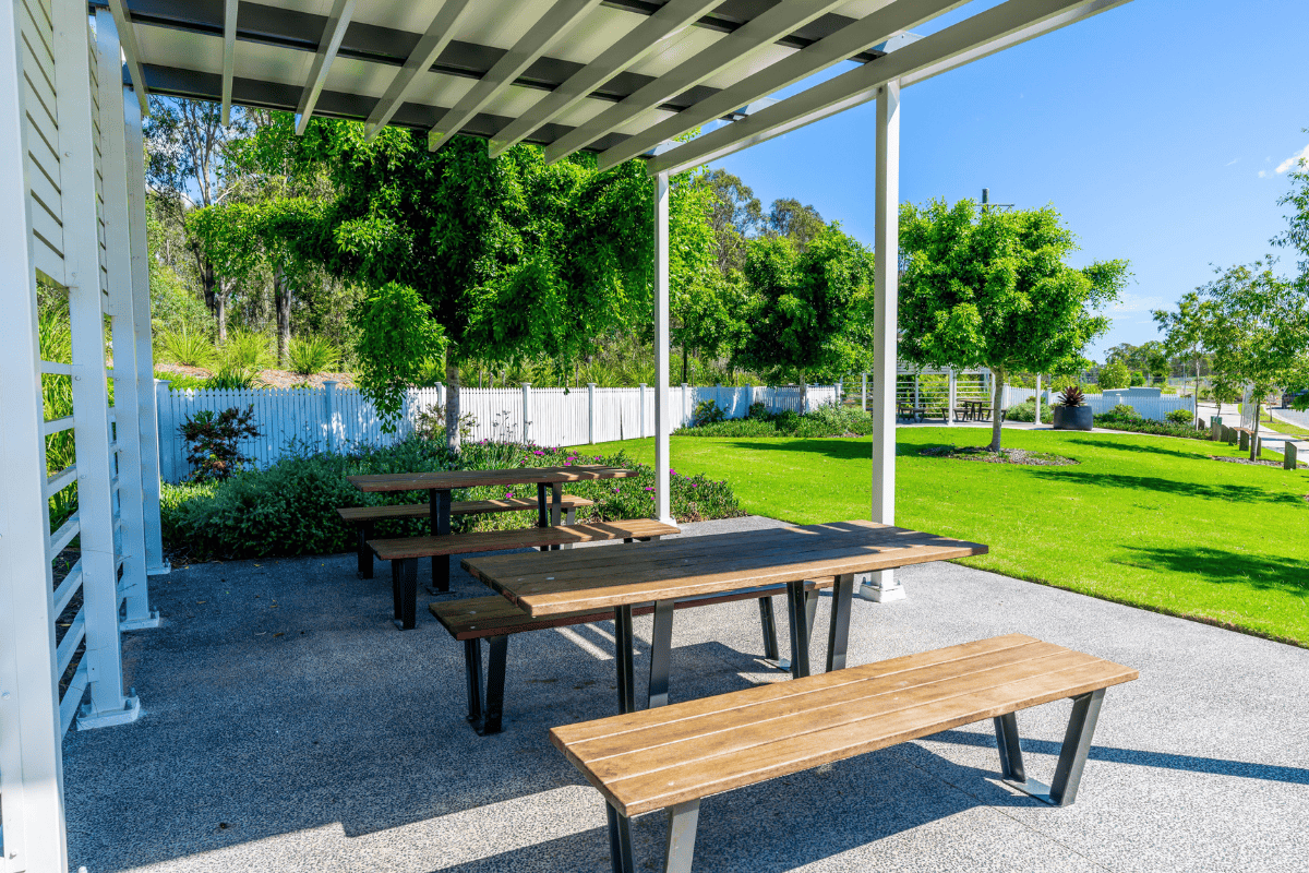
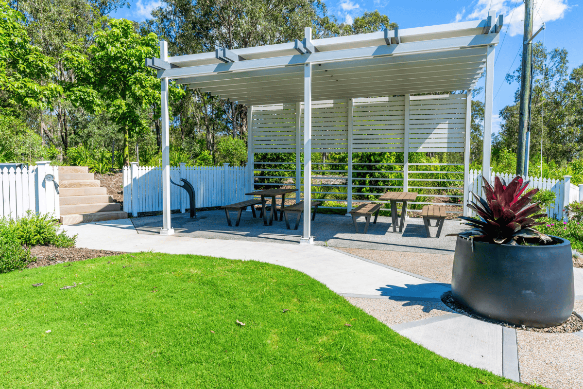
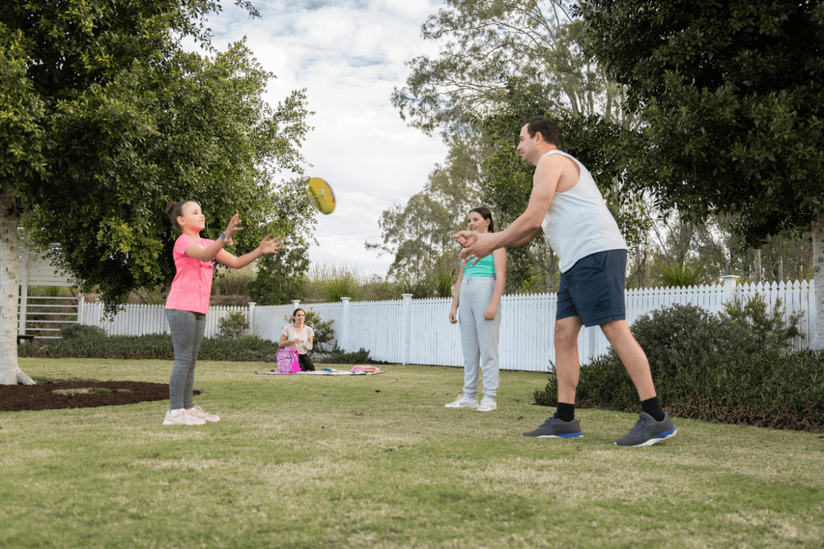
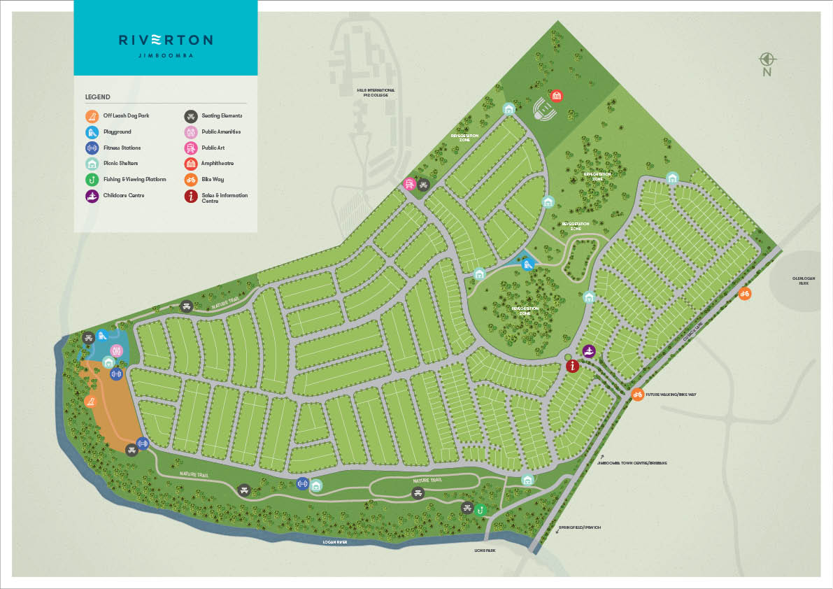
- 100 acres of open spaces to explore with future proposed parks to feature 250m off leash dog park, 900m kick about zone, community sandstone amphitheatre and more.
- Ideally positioned in Brisbane's fastest growing south-west corridor with easy access to existing shops and schools.
This information is estimated by the OpenLot research team. Let us know here to provide up-to-date information about this development.
| Total new homes | 1,200 |
| Area size | 127.00 hectares |
| Growth Region | Greater Brisbane Growth Areas |
| City council | Logan City Council |
| Developer | AVJennings |
| Distance to | Brisbane CBD - 39 km south Gold Coast CBD - 44 km north-west Brisbane Airport - 48 km south |
Land for Sale:
4 Land Lots in Riverton Estate - Jimboomba
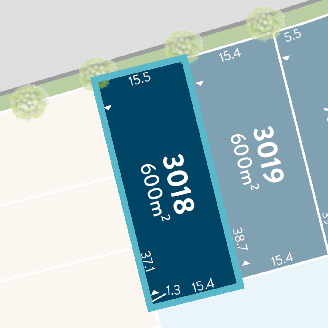
With the Logan River nearby and Jimboomba Town Centre just minutes away, the Archer Release offers the perfect setting—where a picturesque environment meets the everyday conveniences.
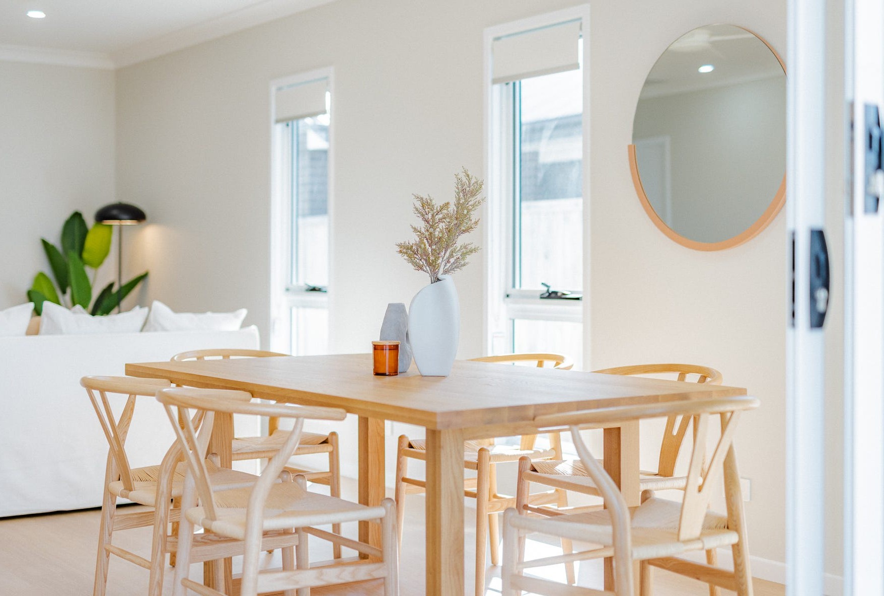
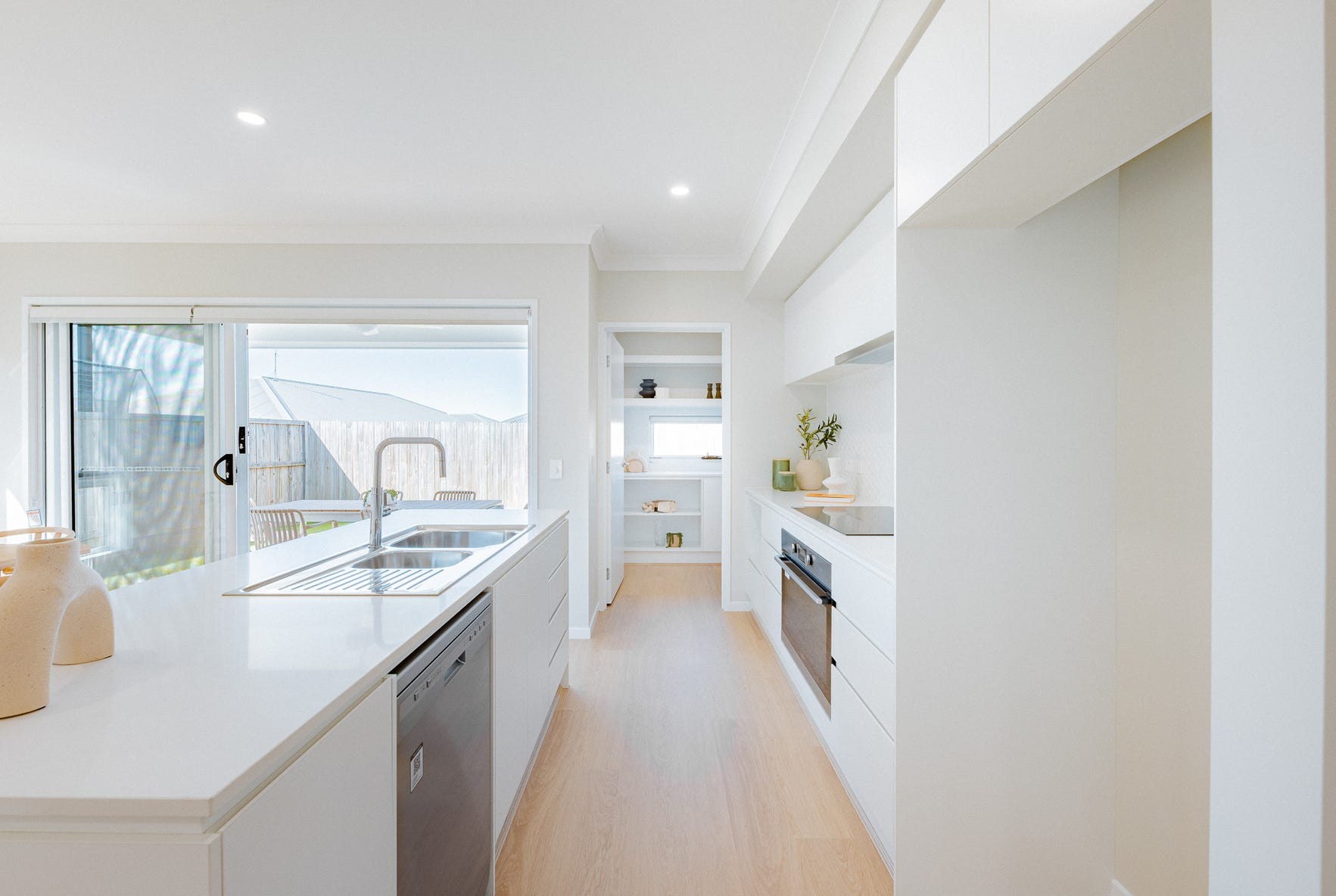
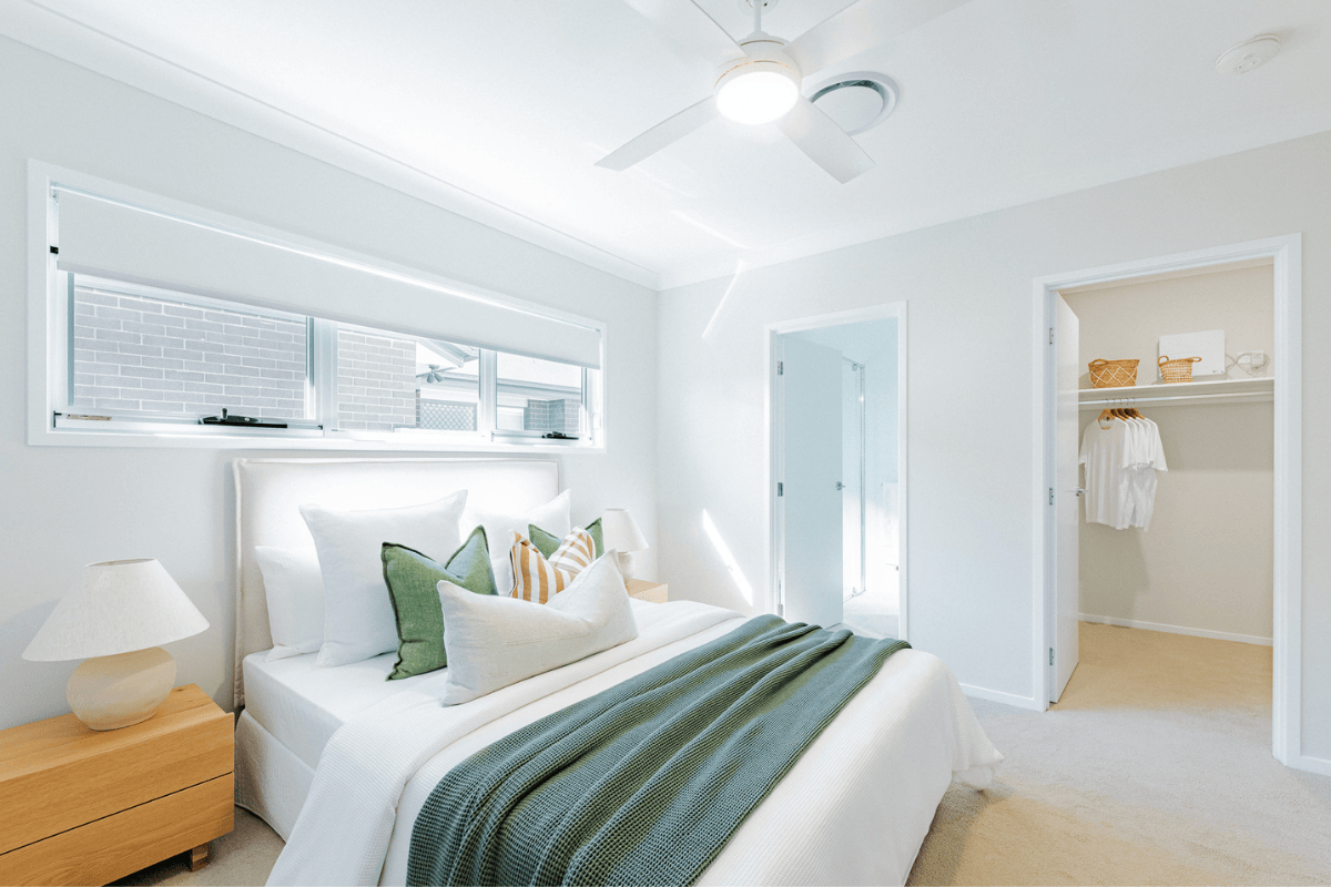
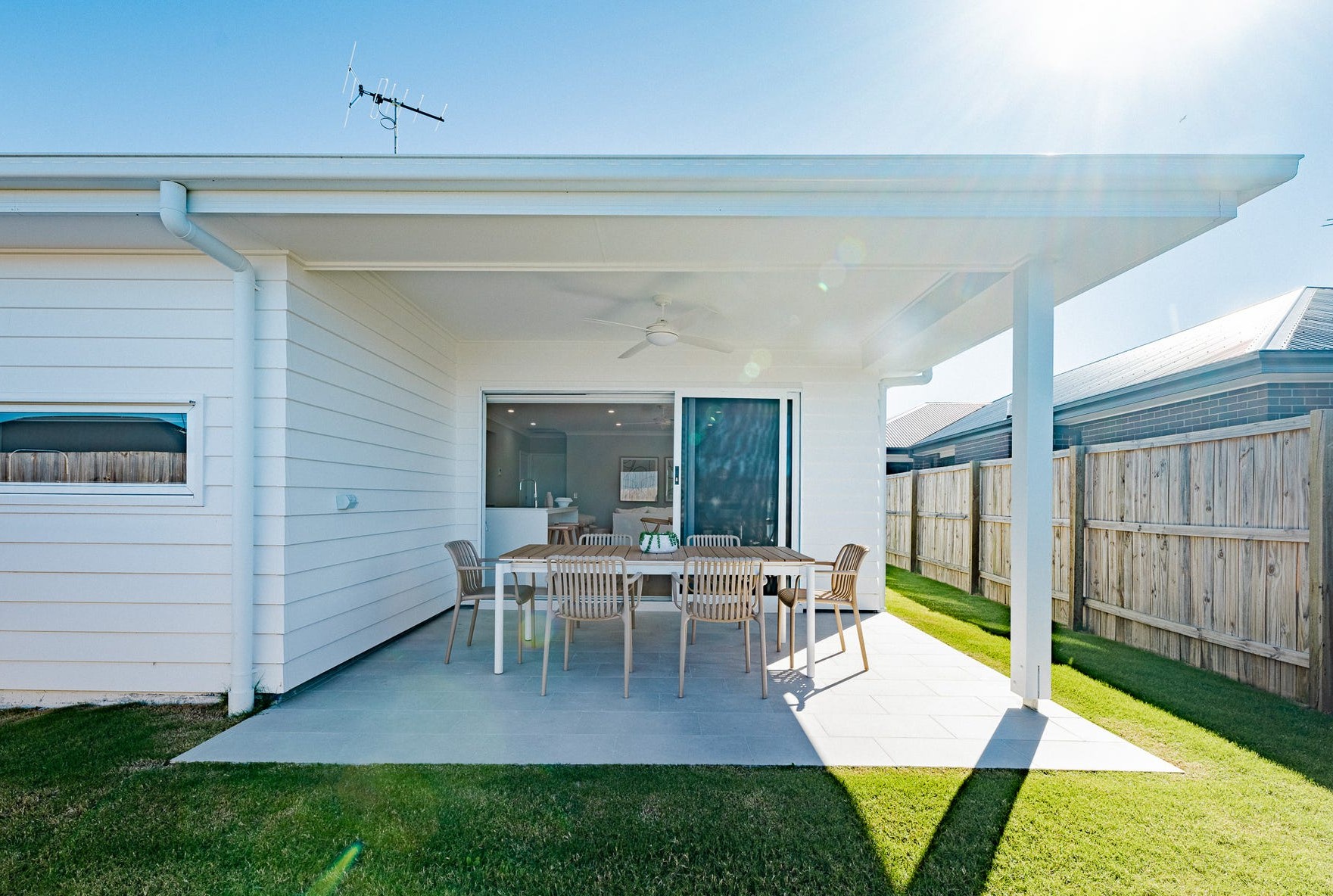
Build your future at Riverton.
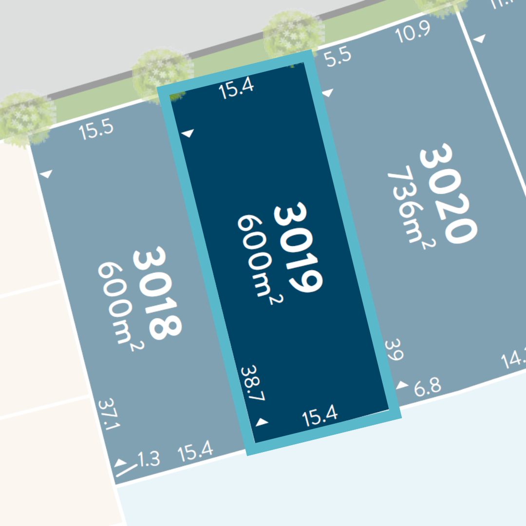
With the Logan River nearby and Jimboomba Town Centre just minutes away, the Archer Release offers the perfect setting—where a picturesque environment meets the everyday conveniences.
Build your future at Riverton.
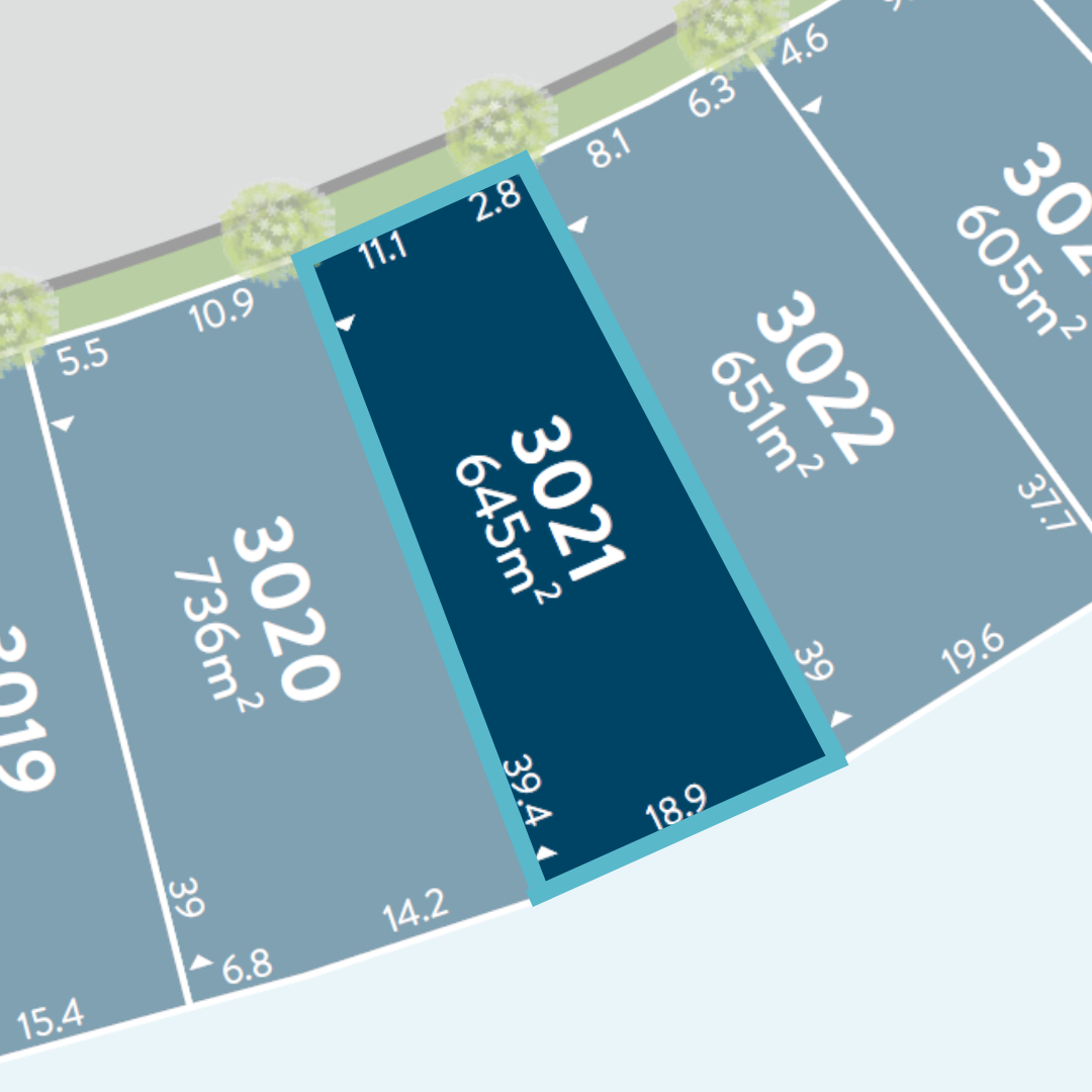
With the Logan River nearby and Jimboomba Town Centre just minutes away, the Archer Release offers the perfect setting—where a picturesque environment meets the everyday conveniences.
Build your future at Riverton.
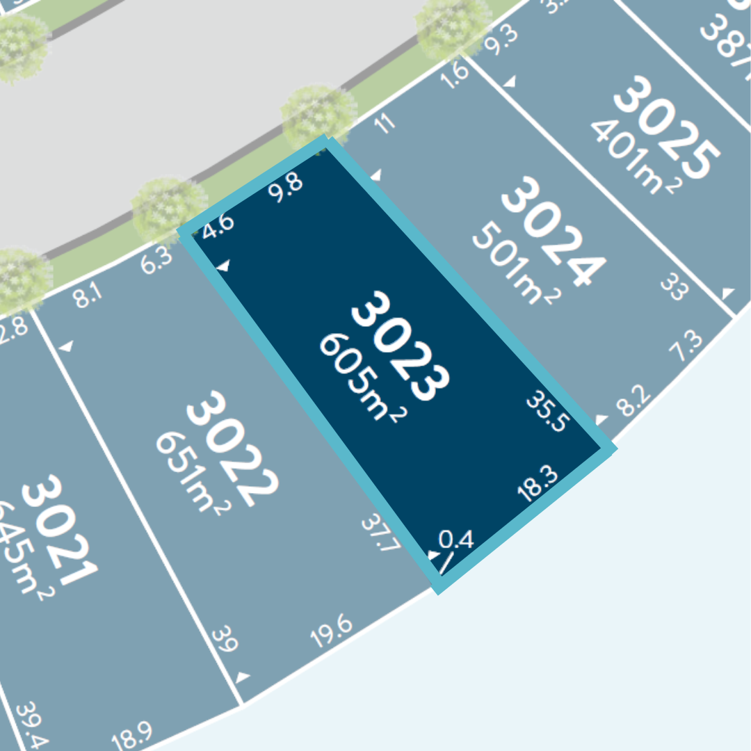
With the Logan River nearby and Jimboomba Town Centre just minutes away, the Archer Release offers the perfect setting—where a picturesque environment meets the everyday conveniences.
Build your future at Riverton.
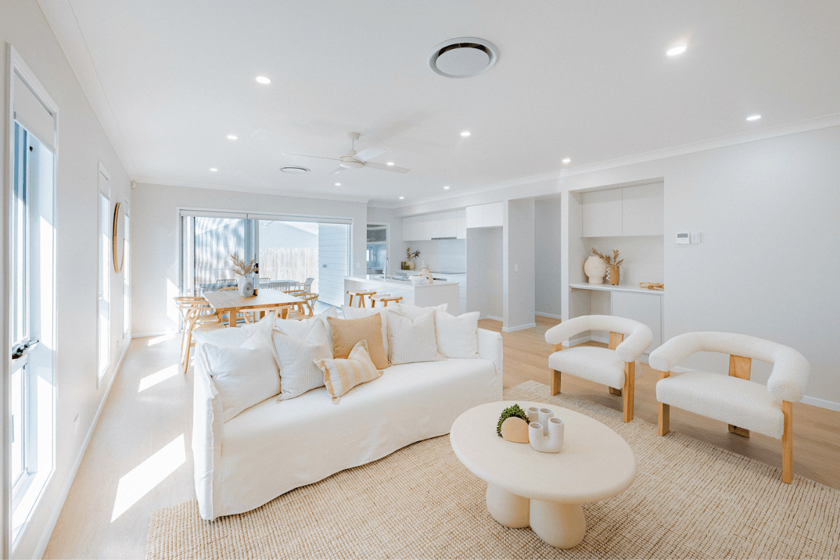
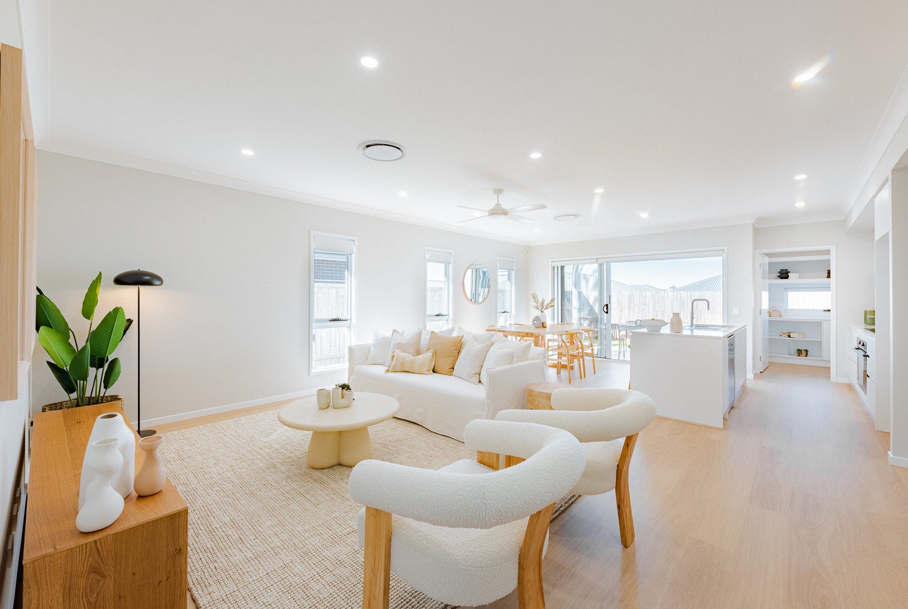
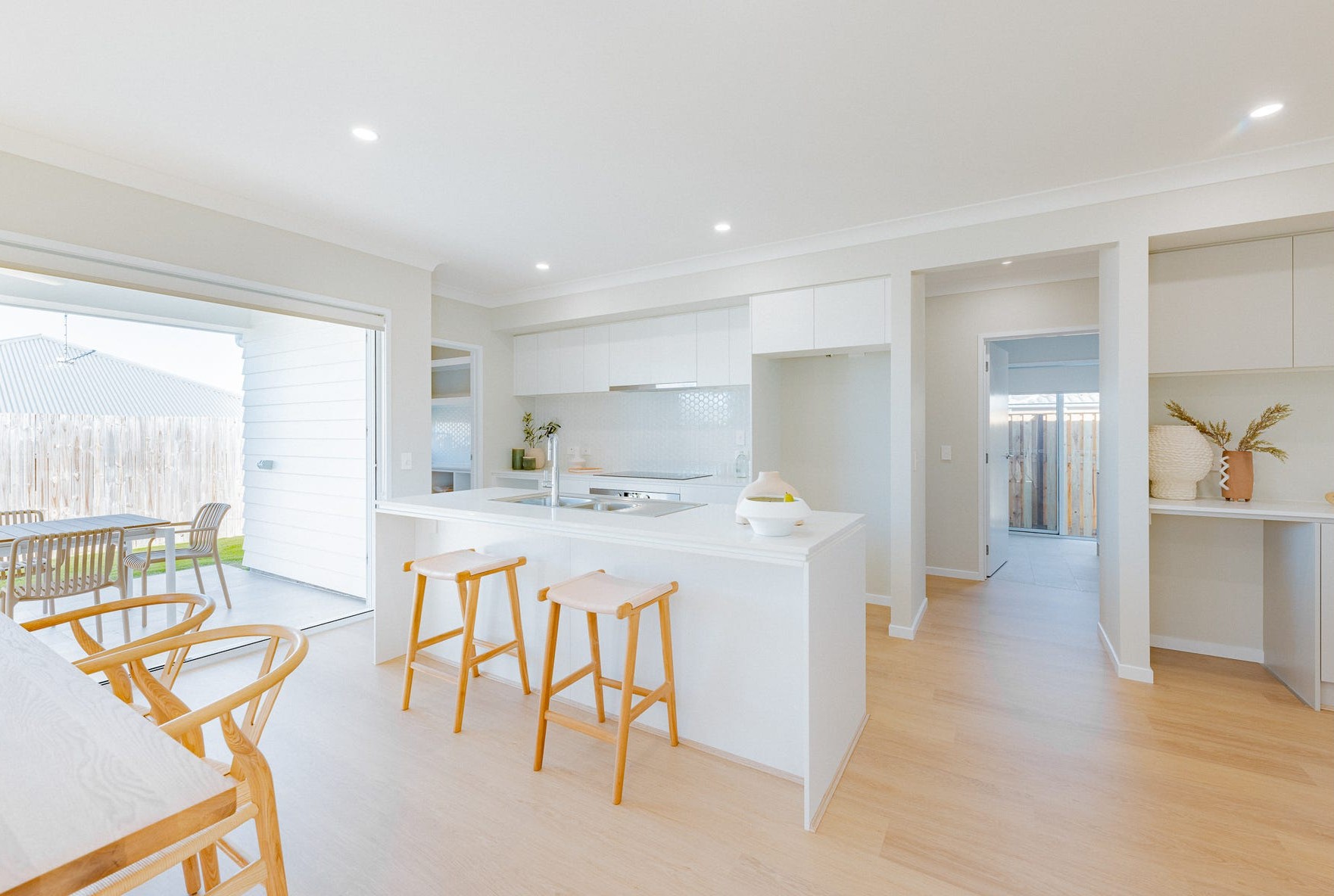
9 House and Land Packages in Riverton Estate - Jimboomba

 4
4
 2
2
 2
2
Popular Estates near Riverton Estate - Jimboomba


Updates for Riverton Estate - Jimboomba
Facebook updates:
Related news:
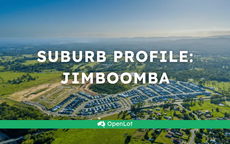
Jimboomba is approximately 5,429ha within the southern portion of Logan, located 27 kilometres south of Brisbane and the majority of the suburb is residential supported by the Jimboomba Town Centre.

Missing articles? Send us a link here.
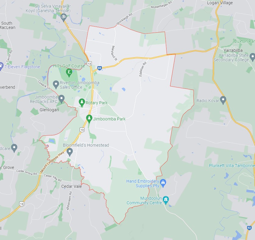
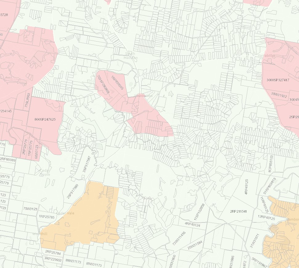
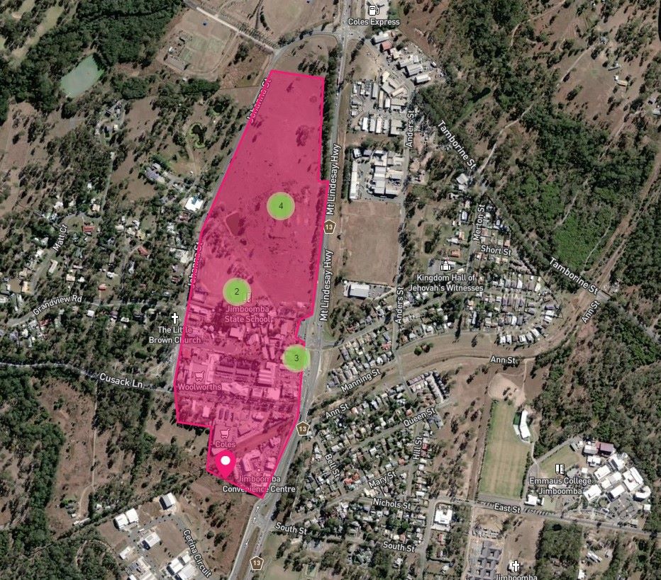
Location & Map for Riverton Estate - Jimboomba
Visit Display Homes near Riverton Estate - Jimboomba


Vacancy Rate in Jimboomba QLD 4280
View full vacancy rate history in Jimboomba QLD 4280 via SQM Research.
Schools near Riverton Estate - Jimboomba
Here are 6 schools near Riverton Estate - Jimboomba:
Prep-12 Independent Combined School
Prep-6 Government Primary School
Prep-12 Catholic Combined School
10-12 Independent Secondary School - School Head Campus
Prep-6 Government Primary School
7-12 Government Secondary School
Suburb Planning Review in Jimboomba QLD 4280
Jimboomba is approximately 5,429ha within the southern portion of Logan, located 27 kilometres south of Brisbane and the majority of the suburb is residential supported by the Jimboomba Town Centre.
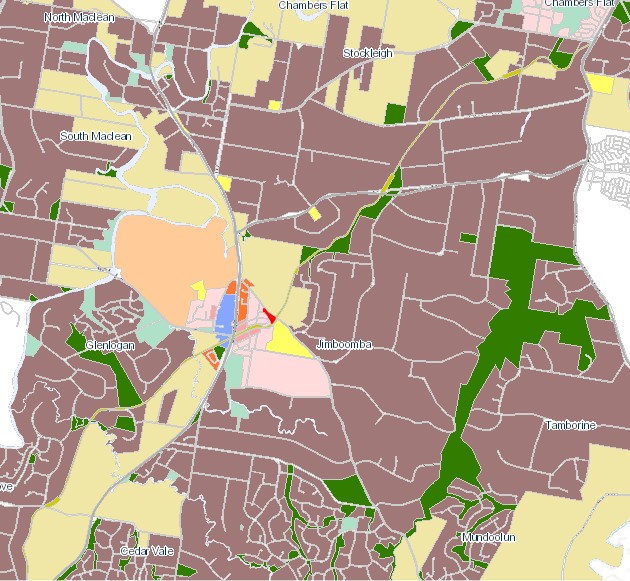
The suburb boundary is located along the mountain range ridgeline to the east, and a series of creek, road and old rail corridors to the west. Stockleigh Road and Hawkins Road contribute to the northern boundary, which is in proximity to a large transmission line and Yarrabilba. The Scrubby Creek corridor and an old mountain access track provide the southern boundary to Cedar Vale and Mundoolun.
The Mt Lindesay Highway runs through the west of the suburb and provides access to the Jimboomba township. This urban area provides a mix of zones including education, community, commercial and retail services. The township area is surrounded by large areas of low density and farming zones. Rural residential zoned areas dominate the remaining northern southern and eastern portions of the suburb.
A small area of the urban footprint is located around the Jimboomba township area, which includes established urban areas and land with potential for new urban development. The area incorporates the full range of urban uses including housing, industry, business, infrastructure, community facilities and other integral components of well-planned urban environments, such as local areas for sport and recreation and urban open space. The council planning scheme includes zoning to allow land uses to align with the purpose of the urban footprint in accordance with the SEQ Regional Plan.
The suburb includes pockets of recreational and open space zoned land found throughout the rural residential land to accommodate parkland, reserves and sporting fields. A large area of the suburb forms part of the mountain range to the east of the site which offers walking trails and informal creek catchments that flow down through the rural residential properties in proximity.
The large rural residential lots are being developed for smaller lots as the population in South East Queensland expands and the demand for new housing stock rises. Four new developments in Jimboomba are, Jimboomba Woods Estate, Eastbrooke Village Estate, The Village at Jimboomba and Riverstone Estate and the largest being Greenbank Central (Everleigh Estate).
Local Plan Area in Jimboomba
The Logan City Council is seeking to deliver small improvements in the coming years to provide to the Jimboomba town centre, to cater for the new residents that are moving to the area. The improvements will make the suburb an even better place for locals, visitors and businesses.
Logan City Council is investigating the possibilities and has held public forums “Jimboomba Summit Survey” where key themes and feedback on options were discussed that could shape the future look and feel of the Jimboomba town centre. Ideas included street furniture, median greening, footpath dining, tree lighting.
The Logan Plan 2025
New Logan Council has decided in July 2021 to support a new planning scheme to address flood risk, design guidelines, planning areas for sustainable growth and emerging suburbs outside of the Flagstone and Yarrabilba priority development areas which will continue to be administered by planning schemes under the state government's Economic Development Act 2012.
The new Logan Planning Scheme 2015 will integrate the Logan Housing Study and the Logan Employment Lands Strategy to address the expected population growth that is predicted to exceed 500,000 by 2036.
Jimboomba Suburb Summary
| Suburb | Jimboomba |
| City / State | Logan City Council, Queensland |
| Suburb Area | 5,429ha |
| Boundary |
|
| Suburb inclusions |
|
| Community Amenity |
|
| Location | Logan, 40 kilometres south of Brisbane |
| Education |
|
| Types of Residential | Housing choice and diversity to meet the needs of the community, through a mix of densities, types, designs, tenures and levels of affordability, to cater for a range of lifestyles, incomes and life cycle needs |
| Employment Areas | Retail and commercial, school, health centre and sports |
| Infrastructure | Local road network and pathway network |
| Transportation |
|
| Recreation Areas |
|
| Environment |
|
| Settlement Pattern | Historic, controlled by creek corridor and mountain range |
References
- Logan City Council - Jimboomba
- Google Streetview and Aerial
- Jimboomba Local Plan Area
- Logan Plan 2025
- OpenStreetMap - DNRME
Reviews & Comments on Riverton Estate - Jimboomba
Estate Brochure, Masterplan, Engineering Plan, Plan of Subdivision (POS), Design Guidelines
FAQs about Riverton Estate - Jimboomba
View all estates from AVJennings
- Hills International College - 747m east
- Jimboomba State School - 2.1km south-east
- Emmaus College - 3.2km south-east
- Australian Technology and Agricultural College - 4.5km north
- Flagstone State School - 5.4km west
- Flagstone State Community College - 5.5km west
Popular Estates near Riverton Estate - Jimboomba
Latest New Home Articles for You

27/Jan/2026 | OpenLot.com.au
Display Homes at Stockland Wildflower Estate: A Smart Community in Piara Waters
Welcome to Wildflower, a vibrant new neighbourhood nestled in the heart o...

16/Jan/2026 | OpenLot.com.au
South Australia Top 30 Most Searched Housing Developments (December 2025)

15/Jan/2026 | OpenLot.com.au
Queensland: Top 30 Most Searched Housing Developments (December 2025)
If you’ve been tracking housing demand across Queensland, December 2025 p...

14/Jan/2026 | OpenLot.com.au
Victoria: Top 30 Most Searched Housing Developments (December 2025)
If you’ve been exploring housing opportunities in Victoria, December 2025...

14/Jan/2026 | OpenLot.com.au
Display Homes at Apsley Estate: A Masterplanned Community in Mandogalup
Apsley is a bold, 1,800-lot masterplanned community just 25 minutes south...

13/Jan/2026 | OpenLot.com.au
Western Australia: Top 30 Most Searched Housing Developments (December 2025)
If you’ve been keeping an eye on housing demand across Western Australia,...

12/Jan/2026 | OpenLot.com.au
New South Wales: Top 30 Most Searched Housing Developments (December 2025)
If you’ve been considering making a move in New South Wales, December 202...

07/Jan/2026 | OpenLot.com.au
🏡 Top 30 Most Searched Estates by State - December

06/Jan/2026 | OpenLot.com.au
Display Homes Near Me (WA): Your Complete Guide to Display Villages Across Western Australia
Finding the right display home in Western Australia has never been easier...