Warby Range Estate - Glenrowan IN PLANNING
This information is estimated by the OpenLot research team. Let us know here to provide up-to-date information about this development.
| Total new homes | N/A |
| Area size | 102.63 hectares |
| City council | Rural City Of Wangaratta |
| Developer | N/A |
Land for Sale, House and Land Packages:
Popular Estates near Warby Range Estate - Glenrowan


 4
4
 2
2
 2
2


Updates for Warby Range Estate - Glenrowan
Facebook updates:
Submit the Facebook page for Warby Range Estate - Glenrowan.
Related news:
Rural & Farming for Sale at 184 Old Hume Highway, Glenrowan VIC 3675. ENJOY FARM LIFE IN TOWN. See if it's right for you or find something similar at Commercial Real Estate.


Missing articles? Send us a link here.
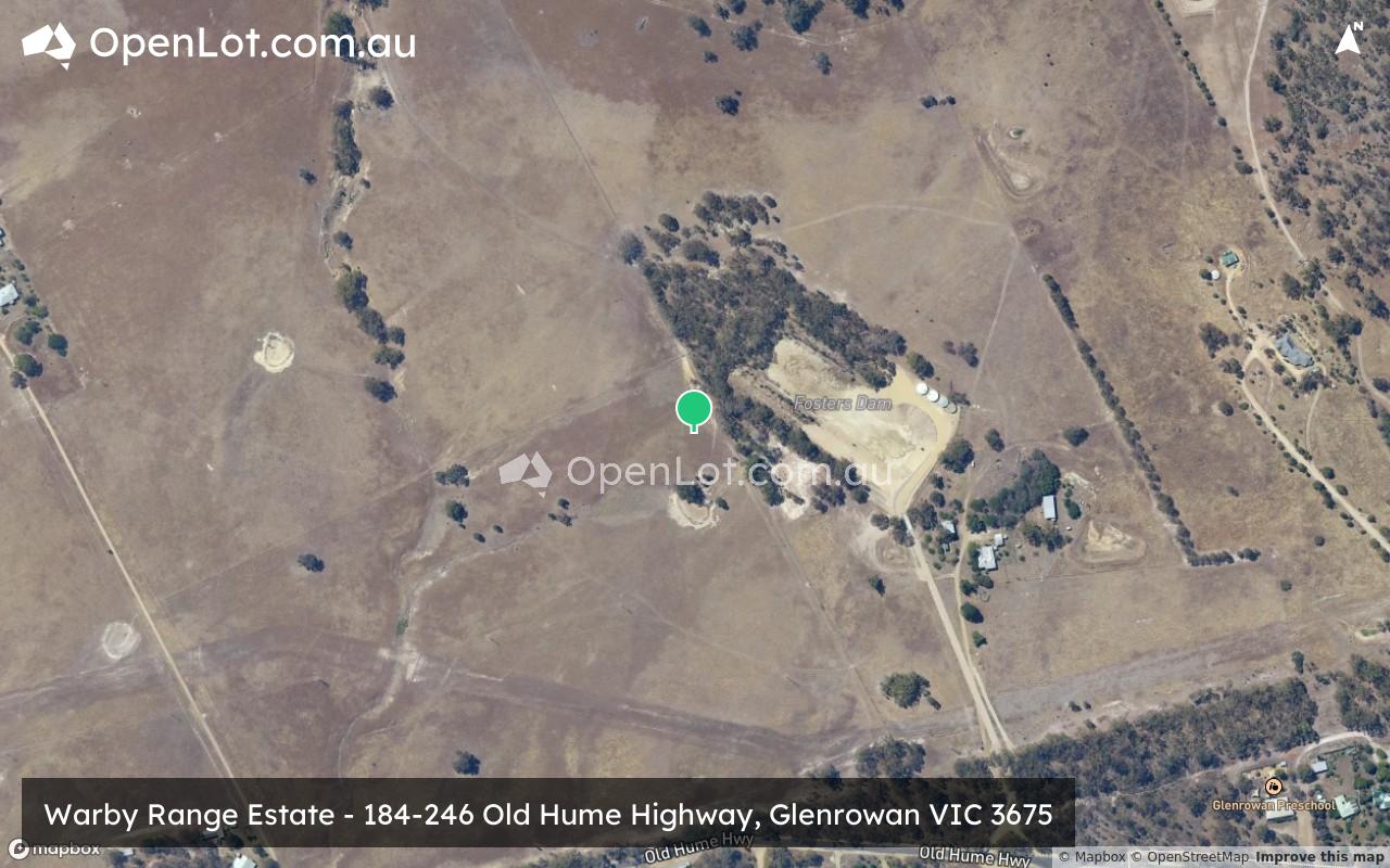
Location & Map for Warby Range Estate - Glenrowan
Land Price Trend in Glenrowan VIC 3675
- In Jul - Sep 21, the median price for vacant land in Glenrowan VIC 3675 was $179,500. *
- From Jan - Mar 21 to Jul - Sep 21, the median price for vacant land in Glenrowan VIC 3675 has increased 12.19%. *
- From 2021 to 2021, the median price for vacant land in Glenrowan VIC 3675 has increased 0%. *
Vacancy Rate in Glenrowan VIC 3675
View full vacancy rate history in Glenrowan VIC 3675 via SQM Research.
Schools near Warby Range Estate - Glenrowan
Here are 6 schools near Warby Range Estate - Glenrowan:
Prep-6 Government Primary School
Prep-6 Government Primary School
Prep-6 Government Primary School
Prep-6 Catholic Primary School
Prep-6 Government Primary School
1-6 Government Primary School
Reviews & Comments on Warby Range Estate - Glenrowan
Estate Brochure, Masterplan, Engineering Plan, Plan of Subdivision (POS), Design Guidelines
FAQs about Warby Range Estate - Glenrowan
- Glenrowan Primary School - 545m south-east
- Oxley Primary School - 12.8km east
- Yarrunga Primary School - 12.9km north-east
- Our Lady's School - 13.1km north-east
- Wangaratta West Primary School - 13.8km north-east
- Winton Primary School - 13.9km south-west
Popular Estates near Warby Range Estate - Glenrowan
Latest New Home Articles for You

27/Jan/2026 | OpenLot.com.au
Display Homes at Stockland Wildflower Estate: A Smart Community in Piara Waters
Welcome to Wildflower, a vibrant new neighbourhood nestled in the heart o...

16/Jan/2026 | OpenLot.com.au
South Australia Top 30 Most Searched Housing Developments (December 2025)

15/Jan/2026 | OpenLot.com.au
Queensland: Top 30 Most Searched Housing Developments (December 2025)
If you’ve been tracking housing demand across Queensland, December 2025 p...

14/Jan/2026 | OpenLot.com.au
Victoria: Top 30 Most Searched Housing Developments (December 2025)
If you’ve been exploring housing opportunities in Victoria, December 2025...

14/Jan/2026 | OpenLot.com.au
Display Homes at Apsley Estate: A Masterplanned Community in Mandogalup
Apsley is a bold, 1,800-lot masterplanned community just 25 minutes south...

13/Jan/2026 | OpenLot.com.au
Western Australia: Top 30 Most Searched Housing Developments (December 2025)
If you’ve been keeping an eye on housing demand across Western Australia,...

12/Jan/2026 | OpenLot.com.au
New South Wales: Top 30 Most Searched Housing Developments (December 2025)
If you’ve been considering making a move in New South Wales, December 202...

07/Jan/2026 | OpenLot.com.au
🏡 Top 30 Most Searched Estates by State - December

06/Jan/2026 | OpenLot.com.au
Display Homes Near Me (WA): Your Complete Guide to Display Villages Across Western Australia
Finding the right display home in Western Australia has never been easier...