
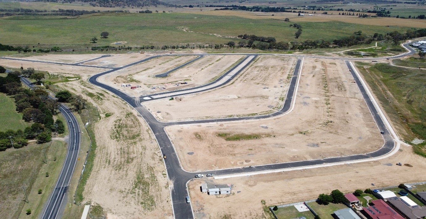

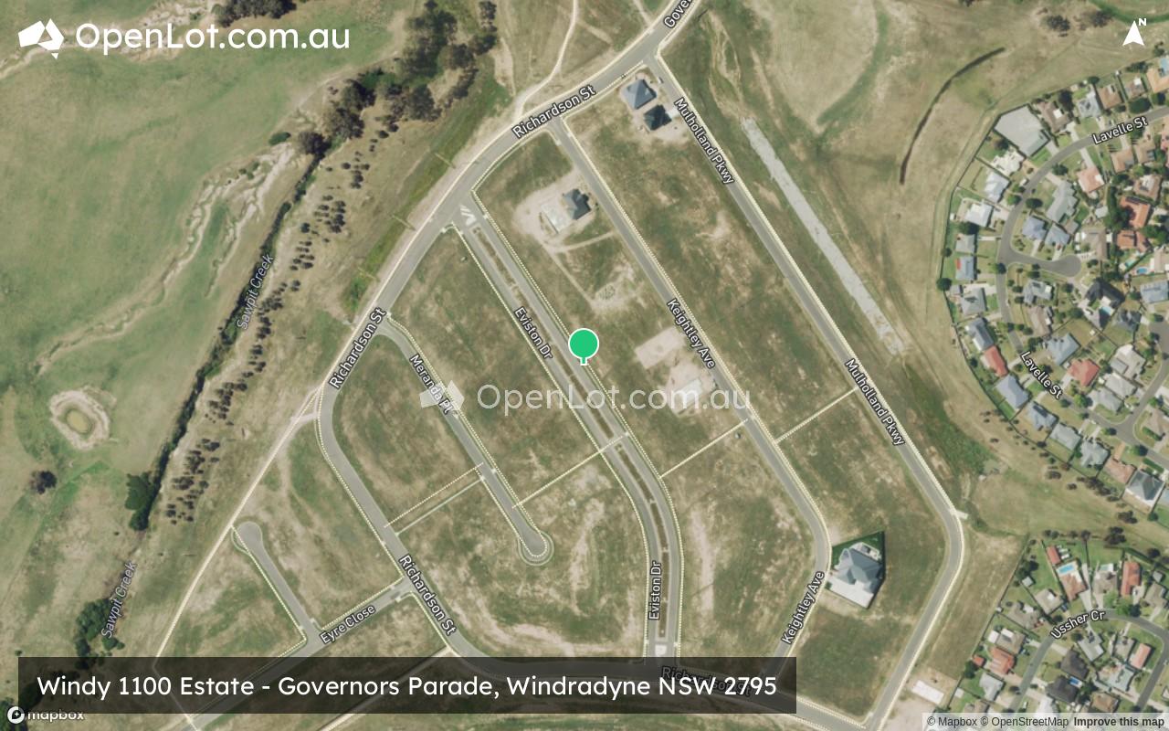
Windy 1100 Estate - Windradyne
This information is estimated by the OpenLot research team. Let us know here to provide up-to-date information about this development.
| Total new homes | 205 |
| Area size | 40.63 hectares |
| City council | Bathurst Regional Council |
| Developer | N/A |
Land for Sale, House and Land Packages:
Popular Estates near Windy 1100 Estate - Windradyne


Updates for Windy 1100 Estate - Windradyne
Facebook updates:
Submit the Facebook page for Windy 1100 Estate - Windradyne.
Related news:
We have compiled the definitive list of the most sought-after housing developments in New South Wales (NSW), based on project page views from organic searches on OpenLot.com.au from March 1, 2024, to March 31, 2024. Whether you are a first-time homebuyer or a seasoned property investor, this list will guide you to the finest options in the market.

Find out what land is available or coming up for sale or lease in your region.


The new 205-lot subdivision is taking shape in Bathurst's west.

Missing articles? Send us a link here.
Location & Map for Windy 1100 Estate - Windradyne
Vacancy Rate in Windradyne NSW 2795
View full vacancy rate history in Windradyne NSW 2795 via SQM Research.
Schools near Windy 1100 Estate - Windradyne
Here are 6 schools near Windy 1100 Estate - Windradyne:
K-6 Government Primary School
K-6 Catholic Primary School
7-12 Government Secondary School
U Government Special School
K-6 Government Primary School
K-6 Government Primary School
Reviews & Comments on Windy 1100 Estate - Windradyne
Estate Brochure, Masterplan, Engineering Plan, Plan of Subdivision (POS), Design Guidelines
FAQs about Windy 1100 Estate - Windradyne
- Bathurst West Public School - 2.1km east
- The Assumption Catholic Primary School Bathurst - 2.8km east
- Denison College of Secondary Education, Bathurst High Campus - 3.1km east
- Carenne School - 3.3km south-east
- Eglinton Public School - 3.4km north
- Bathurst Public School - 3.4km south-east
Popular Estates near Windy 1100 Estate - Windradyne
Latest New Home Articles for You

09/Mar/2026 | OpenLot.com.au
Victoria: Top 30 Most Searched Housing Developments (February 2026)
If you’ve been exploring housing opportunities in Victoria, February 2026...

20/Feb/2026 | OpenLot.com.au
Display Homes at Drouin Fields Estate: A Thriving Community in Drouin
Welcome to Drouin Fields, a place where beauty, space, and modern luxury ...

19/Feb/2026 | OpenLot.com.au
Display Homes at Manor Lakes Esate: A Thriving Waterside Community in Manor Lakes
A place where you can settle in, rather than just settle down. Named for ...

13/Feb/2026 | OpenLot.com.au
🏠 Victoria: Top 30 Most Searched Townhouse Developments – January 2026

11/Feb/2026 | OpenLot.com.au
🏡 Top 30 Most Searched Estates by State - January 2026

10/Feb/2026 | OpenLot.com.au
Victoria: Top 30 Most Searched Housing Developments (January 2026)
If you’ve been considering making a move in Victoria, January 2026 offere...

10/Feb/2026 | OpenLot.com.au
Queensland: Top 30 Most Searched Housing Developments (January 2026)
If you’ve been considering making a move in Queensland, January 2026 offe...

09/Feb/2026 | OpenLot.com.au
Western Australia: Top 30 Most Searched Housing Developments (January 2026)
If you’ve been considering making a move in Western Australia, January 20...

06/Feb/2026 | OpenLot.com.au
South Australia: Top 30 Most Searched Housing Developments (January 2026)
If you’ve been considering making a move in South Australia, January 2026...