






Kinley Estate - Lilydale
New Land Coming Soon


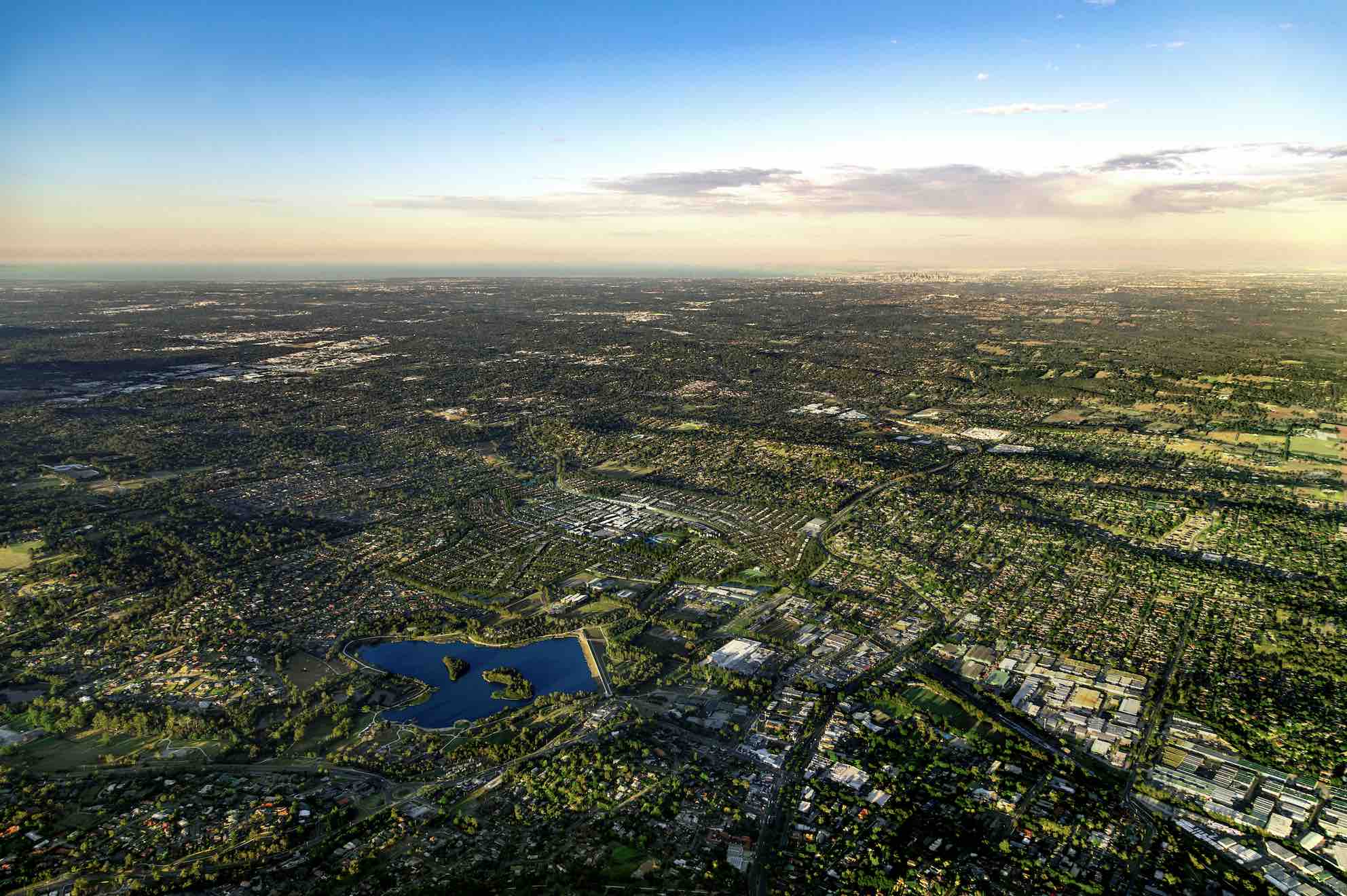
- "Melbourne’s newest eastern suburb"
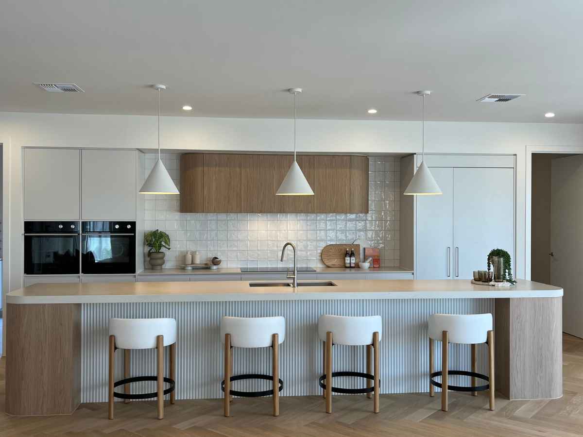
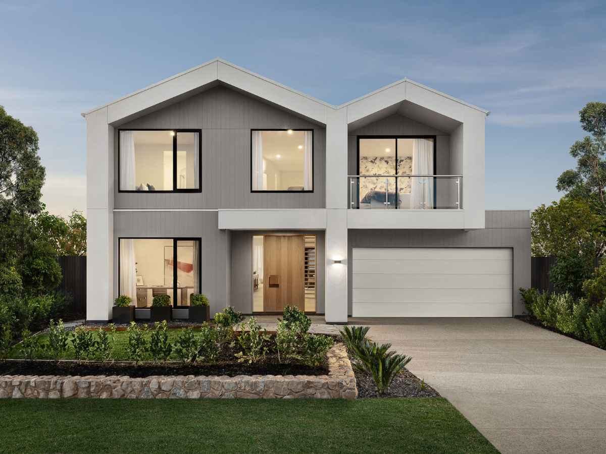
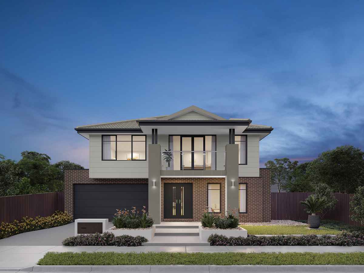
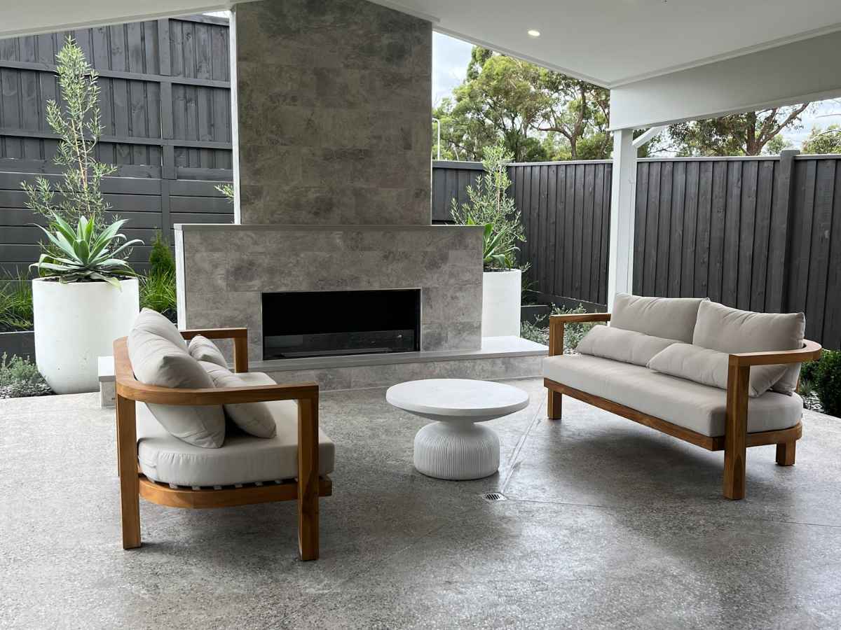
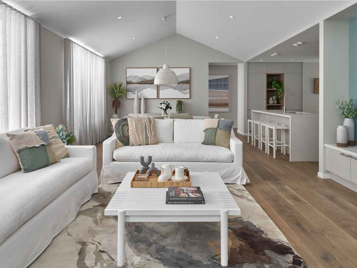
- Display Village with 7 homes from Australia's leading builders
- Proposed Village Centre with local shopping, services and dining
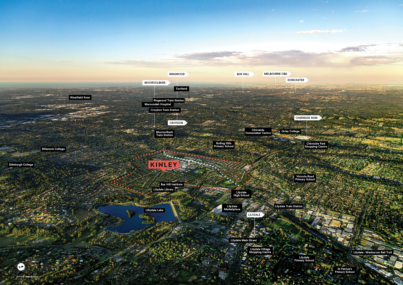
- Walkability to local amenity including the Box Hill Institute, Library and walking trail to Lillydale Lake.
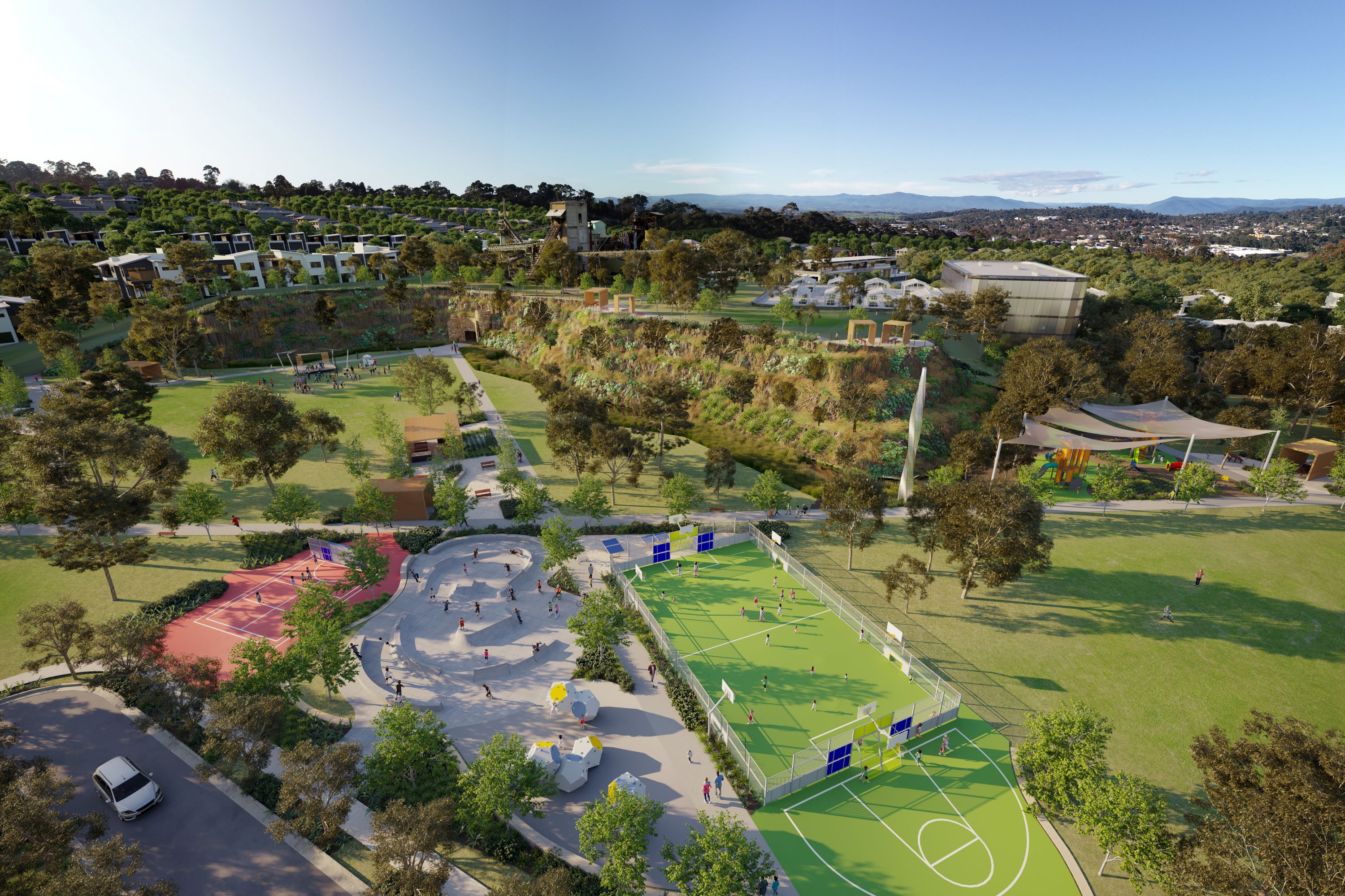
- Preserved and repurposed Heritage Buildings
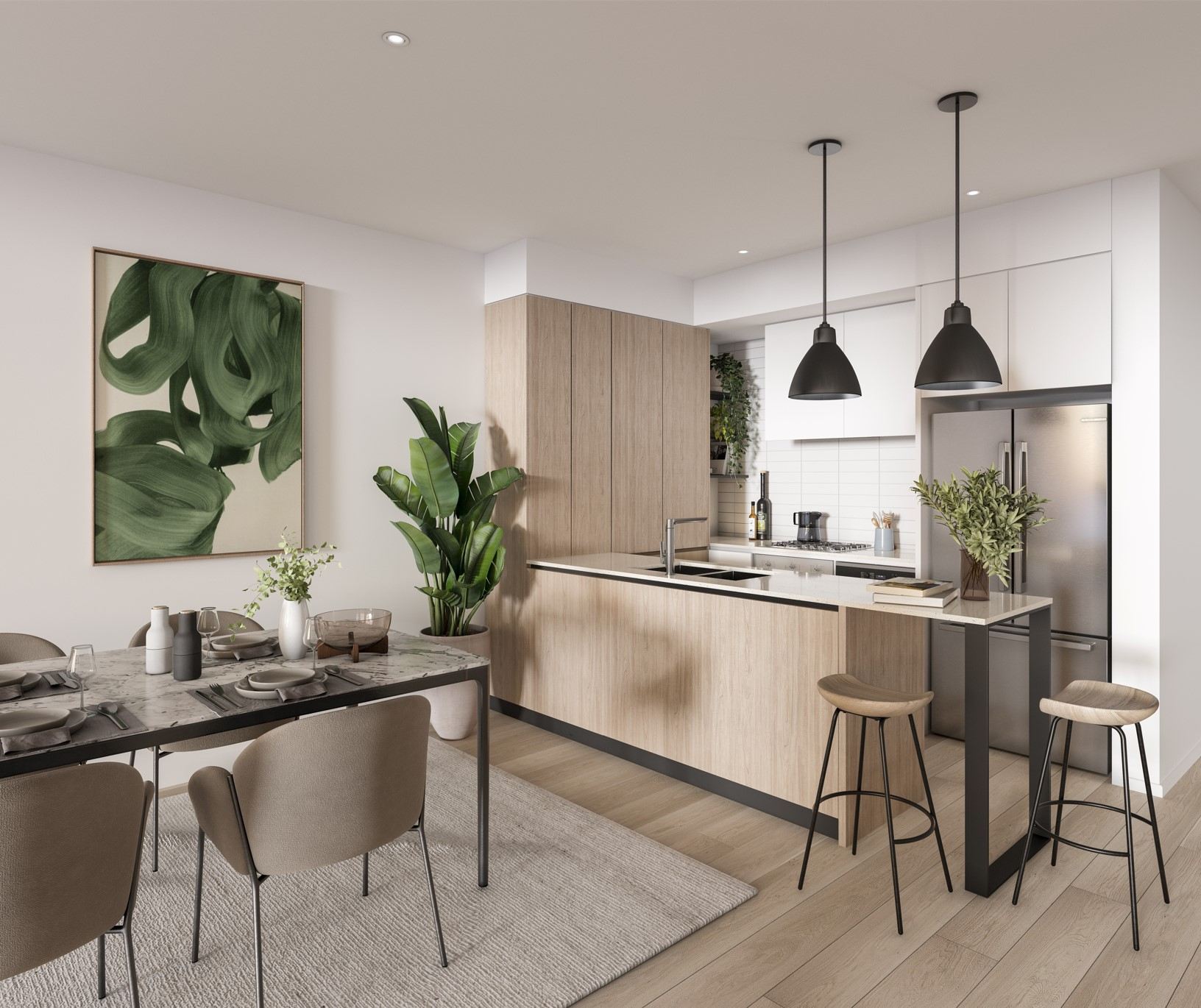
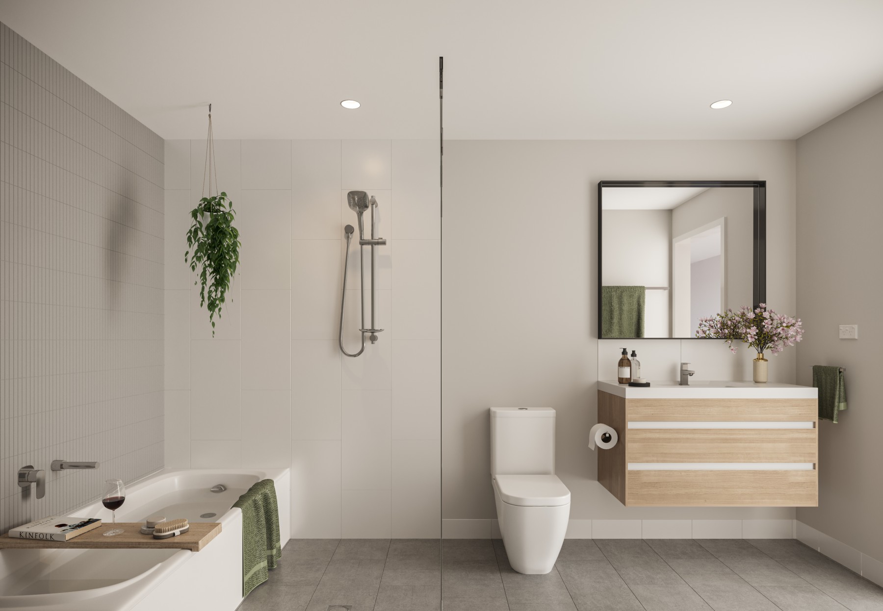
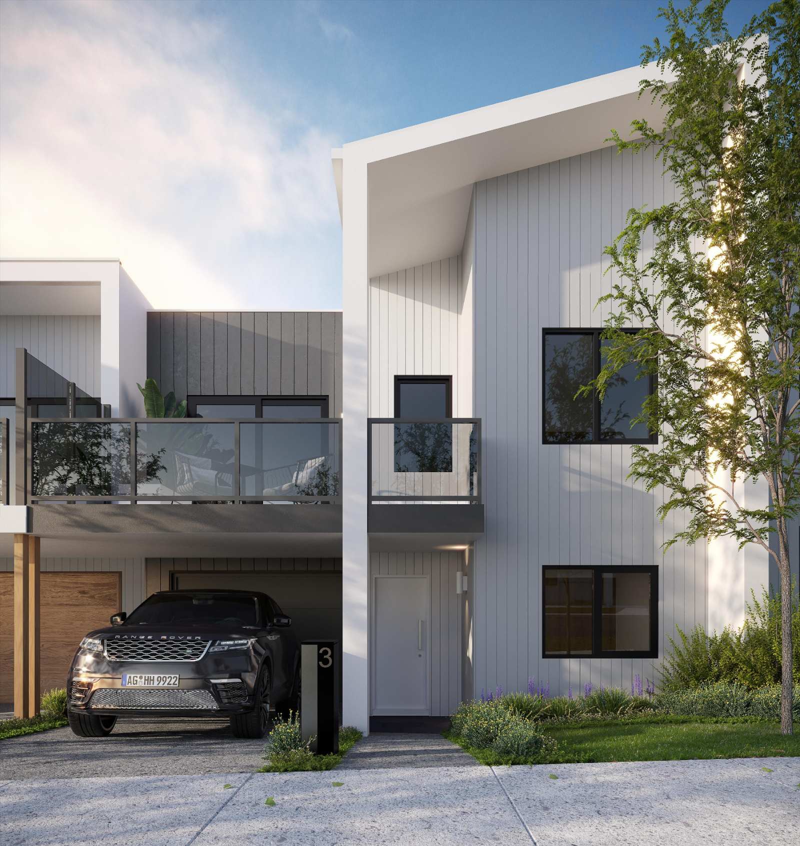
- Architect designed Townhomes by Avant Townhomes
- Major highway access and convenient public transport including trains and buses.
- Proposed Kinley Train Station (STGA)
- Welcoming neighbourhoods with lush green streetscapes
- Easy access to existing Lilydale local amenities including shopping, education, health and recreation.
What's special about Kinley Estate - Lilydale This snippet was generated with OpenLotAI based on the information available in this listing. It was not provided by the developer and we encourage you to contact the agent directly to request more details.
- Display Village featuring seven homes from leading Australian builders.
- Proposed Village Centre planned for local shopping, services and dining.
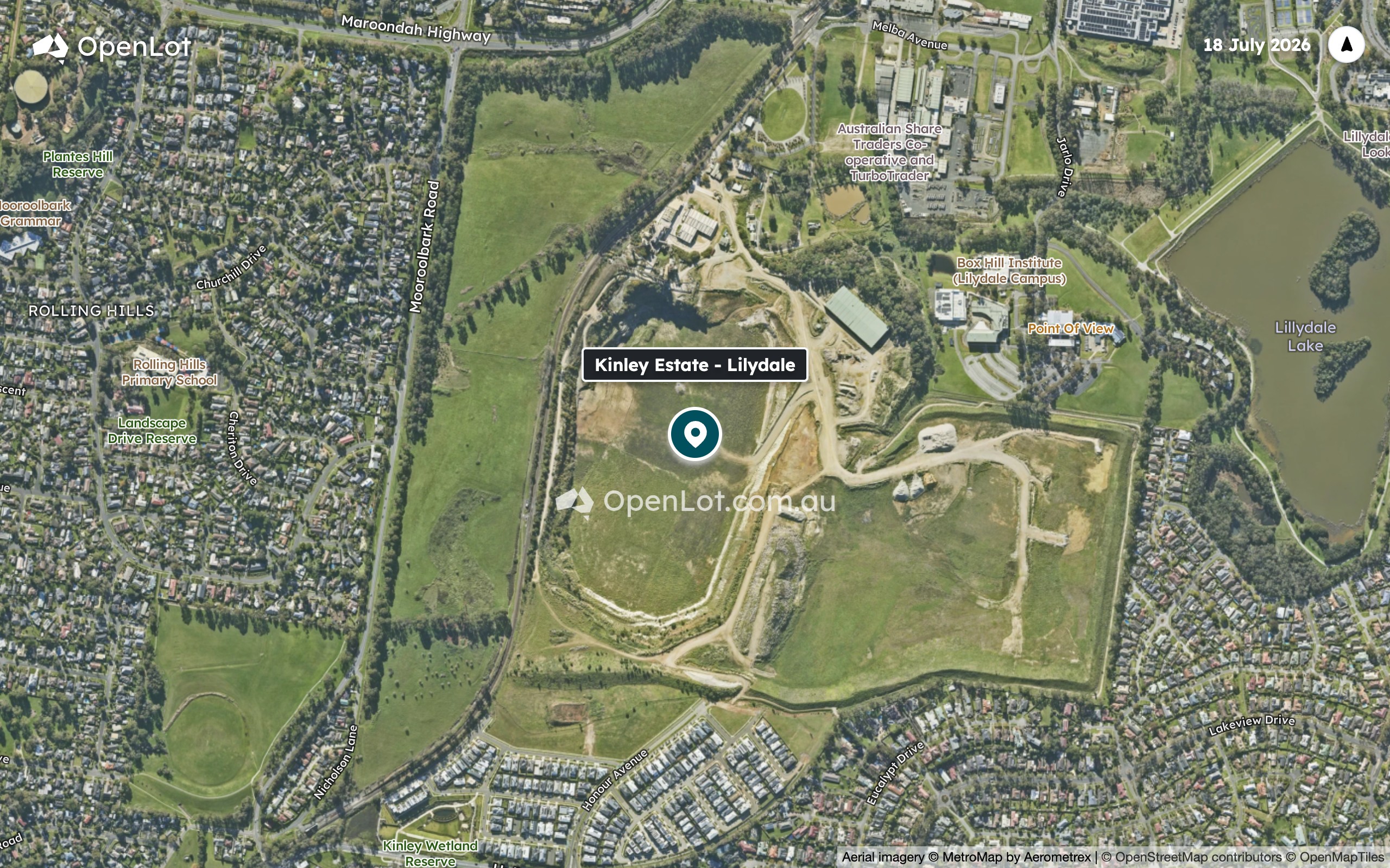
- Kinley Wetland Reserve is nearby at 900m, with Point Of View cafe 750m away.
- Bus stops at Box Hill Institute/Jarlo Drive and Victoria Road/Maroondah Highway are within 850m.
- The estate offers convenient access to Lilydale train station, 1.3 km away, and major highways.
What's within 5 km of Kinley Estate - Lilydale
-
-
 Distance
- 950m
-
 Approximate drive time
- 2min
-
 Approximate walk time
- 15min
-
-
-
Distance
- 1.1km
-
Approximate drive time
- 3min
-
Approximate walk time
- 18min
-
-
-
Distance
- 1.3km
-
Approximate drive time
- 3min
-
Approximate walk time
- 20min
-
-
-
Distance
- 1.3km
-
Approximate drive time
- 3min
-
Approximate walk time
- 21min
-
-
-
Distance
- 1.4km
-
Approximate drive time
- 3min
-
Approximate walk time
- 23min
-
-
-
Distance
- 700m
-
Approximate drive time
- 2min
-
Approximate walk time
- 11min
-
-
-
Distance
- 850m
-
Approximate drive time
- 2min
-
Approximate walk time
- 14min
-
-
-
Distance
- 900m
-
Approximate drive time
- 2min
-
Approximate walk time
- 14min
-
-
-
Distance
- 900m
-
Approximate drive time
- 2min
-
Approximate walk time
- 14min
-
-
-
Distance
- 1.3km
-
Approximate drive time
- 3min
-
Approximate walk time
- 21min
-
-
-
Distance
- 1.2km
-
Approximate drive time
- 3min
-
Approximate walk time
- 19min
-
-
-
Distance
- 1.2km
-
Approximate drive time
- 3min
-
Approximate walk time
- 20min
-
-
-
Distance
- 1.2km
-
Approximate drive time
- 3min
-
Approximate walk time
- 20min
-
-
-
Distance
- 1.4km
-
Approximate drive time
- 3min
-
Approximate walk time
- 23min
-
-
-
Distance
- 1.8km
-
Approximate drive time
- 4min
-
Approximate walk time
- 30min
-
-
-
Distance
- 900m
-
Approximate drive time
- 2min
-
Approximate walk time
- 15min
-
-
-
Distance
- 1.0km
-
Approximate drive time
- 2min
-
Approximate walk time
- 17min
-
-
-
Distance
- 1.3km
-
Approximate drive time
- 3min
-
Approximate walk time
- 21min
-
-
-
Distance
- 1.3km
-
Approximate drive time
- 3min
-
Approximate walk time
- 21min
-
-
-
Distance
- 1.4km
-
Approximate drive time
- 3min
-
Approximate walk time
- 22min
-
-
-
Distance
- 1.2km
-
Approximate drive time
- 3min
-
Approximate walk time
- 20min
-
-
-
Distance
- 1.6km
-
Approximate drive time
- 4min
-
Approximate walk time
- 26min
-
-
-
Distance
- 1.6km
-
Approximate drive time
- 4min
-
Approximate walk time
- 27min
-
-
-
Distance
- 1.7km
-
Approximate drive time
- 4min
-
Approximate walk time
- 27min
-
-
-
Distance
- 1.8km
-
Approximate drive time
- 4min
-
Approximate walk time
- 29min
-
-
-
Distance
- 1.1km
-
Approximate drive time
- 2min
-
Approximate walk time
- 18min
-
-
-
Distance
- 1.4km
-
Approximate drive time
- 3min
-
Approximate walk time
- 22min
-
-
-
Distance
- 1.4km
-
Approximate drive time
- 3min
-
Approximate walk time
- 22min
-
-
-
Distance
- 1.4km
-
Approximate drive time
- 3min
-
Approximate walk time
- 23min
-
-
-
Distance
- 1.4km
-
Approximate drive time
- 3min
-
Approximate walk time
- 23min
-
-
-
Distance
- 750m
-
Approximate drive time
- 2min
-
Approximate walk time
- 12min
-
-
-
Distance
- 1.3km
-
Approximate drive time
- 3min
-
Approximate walk time
- 21min
-
-
-
Distance
- 1.4km
-
Approximate drive time
- 3min
-
Approximate walk time
- 23min
-
-
-
Distance
- 1.4km
-
Approximate drive time
- 3min
-
Approximate walk time
- 23min
-
-
-
Distance
- 1.4km
-
Approximate drive time
- 3min
-
Approximate walk time
- 23min
-
Straight-line distance. Drive and walk times are estimates.
Property types for sale
Videos for Kinley Estate - Lilydale
Location & Masterplan for Kinley Estate - Lilydale
Land Lots in Kinley Estate - Lilydale


Popular Estates near Kinley Estate - Lilydale


Construction updates for Kinley Estate
Development overview of Kinley Estate - Lilydale
This information is estimated by the OpenLot research team. Let us know here to provide up-to-date information about this development.
Project team of Kinley Estate - Lilydale


3D Tour of Kinley Estate - Lilydale
7 Display Homes in Kinley Estate Display Village - Lilydale

 4
 3
 2


 4
2
2
 4
2
2
 4
4
2
Updates for Kinley Estate - Lilydale


Schools near Kinley Estate - Lilydale
Land Price Trend in Lilydale VIC 3140
Below shows the price trend from vacant land sales recorded in Lilydale VIC 3140.
The data and information provided by Terralytics (Aust) Pty Ltd (Terralytics Data) is general in nature and is not intended to constitute professional advice. Read more
It should not be relied upon as a substitute for legal, financial, valuation, or other specialist advice relevant to your specific circumstances.
Terralytics uses commercially reasonable endeavours to ensure the Terralytics Data is current and accurate. However, as the Terralytics Data incorporates information sourced from third parties, Terralytics makes no representation or warranty — express or implied — as to its accuracy, completeness, or currency. To the maximum extent permitted by applicable law, Terralytics excludes all liability for any loss or damage (including consequential loss) arising out of or in connection with reliance on the Terralytics Data, whether arising in contract, tort (including negligence), statute, or otherwise.
Popular Estates near Kinley Estate - Lilydale
Not exactly what you're looking for? Try surrounding suburbs

Mooroolbark VIC 3138
8 estates | Yarra Ranges Shire Council
4.7km south-west
Kilsyth VIC 3137
6 estates | Yarra Ranges Shire Council
6.1km south-west
Coldstream VIC 3770
1 estate | Yarra Ranges Shire Council
4.3km north-east
Chirnside Park VIC 3116
2 estates | Yarra Ranges Shire Council
6.7km west
Croydon VIC 3136
10 estates | Maroondah City Council
8.7km south-west
Croydon North VIC 3136
1 estate | Maroondah City Council
6.9km west
Latest published articles







FAQs about Kinley Estate - Lilydale
Intrapac Property is the developer behind Kinley Estate - Lilydale.
Kinley Estate - Lilydale consists of 3,200 homes.
The total area for Kinley Estate - Lilydale is 163.00 hectares.
Kinley Estate - Lilydale falls under Yarra Ranges Shire Council.
Kinley Estate - Lilydale is 33 km east of Melbourne CBD.
Nearby schools for Kinley Estate - Lilydale:
- Lilydale High School - 943m north-east
- Rolling Hills Primary School - 1.1km west
- Cire Community School - 1.3km north
- Mooroolbark Grammar - 1.3km west
- Victoria Road Primary School - 1.4km north
- Bimbadeen Heights Primary School - 1.7km west