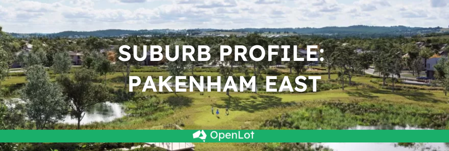
Pakenham East is located in the Shire of Cardinia, the fringe of Melbourne’s Urban Growth Boundary and logical expansion of the existing Pakenham township. The new 630ha suburb area is located on either side of the Princes Highway and is bounded by natural features, existing urban community, infrastructure and farmland.
The Pakenham East Precinct Structure Plan (PSP) and Native Vegetation Precinct Plan (NVPP) were prepared to guide the redevelopment of the released land, protection of natural assets and where services are planned to support the suburb growth. This includes local heritage, landscape and environmental values of the area while delivering a variety of housing options and community and recreational facilities as a logical extension of the Pakenham township.

Pakenham East Precinct Structure Plan – Future Urban Structure
Both the Pakenham East PSP and NVPP were prepared by Victorian Planning Authority (VPA) in consultation with the Cardinia Shire Council and was approved on 2 January 2021 by the Minister for Planning in December 2020. The decision was officially gazetted on 21 January 2021 under Amendment C234 of the Cardinia Planning Scheme.
The Vision
“for a sustainable and resilient community with plenty of housing choices, open space, well-connected streets, future schools and a local town centre and convenience centre. It will complement Pakenham, with an extensive network of cycling paths, public transport and pedestrian links to central Pakenham”.

Pakenham East Precinct Structure Plan – Land Use
Benefits
The amendments allow the rezoning of Farming and Low Density Residential Zones to Urban Growth Zone. This allows the new greenfield sites to provide for a new residential community, protect natural features and sports and recreation areas. A series of new schools, local community hubs, a town centre and a convenience centre will provide local employment.
Transportation
Pakenham East is well connected to public passenger transport, with the Pakenham rail line extended and new station adjacent to Deep Creek Reserve within the Pakenham community fringe and car parking access from Ryan Road. The passenger train service on the Orbost mainline will connect Flinders Street and the new Pakenham East train station.
While located just outside the new suburb boundary the train station is well connected to a network of shared paths including cycle links and the local road network. The Princes Highway will provide vehicle access to the Princes Freeway and a direct connection to Melbourne CBD or the east coastline of Victoria.


Pakenham East Station Precinct – Layout and Concept Images
Featured Developments in Pakenham East
Kala - Pakenham East
 OPENLOT CASHBACK13 AVAILABLELand for Sale Stage 2 Sold Out! Only a Handful of Stage 1 Lots Remain!
Kala - Pakenham East
Ridgelea Estate - Pakenham East
OPENLOT CASHBACK9 AVAILABLELand for Sale Stage 17 "Sanctuary Precinct" Now SellingRidgelea Estate - Pakenham East


Pakenham Suburb Summary
References
Premier of Victoria – New Station


